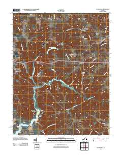
2011 Map of Haynesville
USGS Topo · Published 2011About this map
Totuskey Creek and its many tributaries, such as Drinking Swamp and Marshy Swamp, define the geography of this Richmond County region. The landscape is characterized by its numerous millponds and landings, including Gardys Millpond and Yellowbank Landing, which speak to a historical reliance on local waterways for industry and transport. Small rural communities like Haynesville, Emmerton, and Farnham are interconnected by a network of local routes such as Mulberry Rd and Lone Walnut Rd. Genealogists will find significant value in the distribution of family-named sites and several burial grounds, including Lyells Chapel Cemetery and Calvary Cemetery. Notably, the area includes the State Prison Camp Number 17, situated near the confluence of local streams and agricultural tracts that have shaped the settlement patterns of this Virginia neck.
Find a feature on this map
57 named features on this map. Tap any name to fly to it.
Don’t see what you’re looking for? This feature index may not catch every label — zoom into the map to look around manually.
Map Details
Editions of this 2011 Haynesville Map
This is the sole edition of this map. No revisions or reprints were ever made.
Other maps of this area

1892 · Piney Point
USGS Topo · 1:62,500

1892 · Montross
USGS Topo · 1:62,500

1894 · Piney Point
USGS Topo · 1:62,500

1895 · Nomini
USGS Topo · 1:125,000

1895 · Piney Point
USGS Topo · 1:62,500

1895 · Montross
USGS Topo · 1:62,500

1898 · Nomini
USGS Topo · 1:125,000

1901 · Piney Point
USGS Topo · 1:62,500

1917 · Morattico
USGS Topo · 1:62,500

1918 · Tappahannock
USGS Topo · 1:62,500