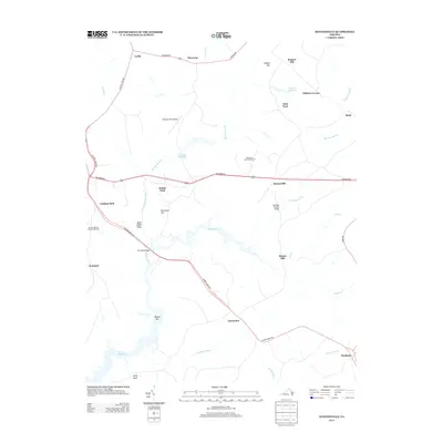
2013 Map of Haynesville
USGS Topo · Published 2013About this map
Haynesville and Emmerton anchor this survey of rural Richmond County, where the landscape is defined by the winding tributaries of the Rappahannock River watershed. The geography is marked by numerous low-lying wetlands and creek systems, including Totuskey Cr and its many branches like Little Totuskey Cr and Mill Br. Cultural landmarks of the early 21st century range from the State Prison Camp Number 17 to the Branham Mill Airpark, illustrating a mix of public infrastructure and private aviation. Legacy water features such as Garlands Millpond, Hogans Millpond, and the site of Moores Mill point to a history of water-powered industry across the coastal plain. Roadways like the History Land Hwy and Richmond Rd connect the scattered hamlets of Lyells, Threeway, and Farnham, tracing the high ground between the surrounding swamps.
Find a feature on this map
39 named features on this map. Tap any name to fly to it.
Don’t see what you’re looking for? This feature index may not catch every label — zoom into the map to look around manually.
Map Details
Editions of this 2013 Haynesville Map
This is the sole edition of this map. No revisions or reprints were ever made.
Other maps of this area

1892 · Piney Point
USGS Topo · 1:62,500

1892 · Montross
USGS Topo · 1:62,500

1894 · Piney Point
USGS Topo · 1:62,500

1895 · Nomini
USGS Topo · 1:125,000

1895 · Piney Point
USGS Topo · 1:62,500

1895 · Montross
USGS Topo · 1:62,500

1898 · Nomini
USGS Topo · 1:125,000

1901 · Piney Point
USGS Topo · 1:62,500

1917 · Morattico
USGS Topo · 1:62,500

1918 · Tappahannock
USGS Topo · 1:62,500