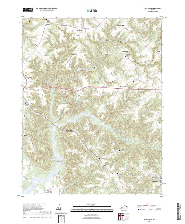
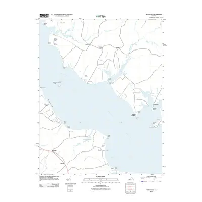
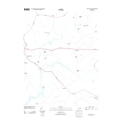
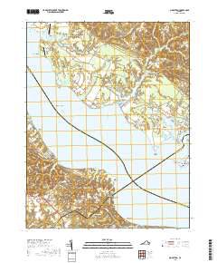
2022 Map of Haynesville
USGS Topo · Published 2022About this map
Haynesville and the surrounding rural landscapes of Richmond County are defined by a intricate network of creeks and swamps that flow toward the Rappahannock River. The area is anchored by numerous spiritual centers and burial grounds, such as North Farnham Episcopal Church Cem and Jerusalem Baptist Church Cem, which serve as vital landmarks for local history and genealogy. The terrain is notably dissected by waterways like Totuskey Cr and its many tributaries, including Little Totuskey Cr and Drinking Swamp. Smaller settlements and locales such as Emmerton, Farnham, and Lyells are linked by a web of country roads that follow the high ground between these drainages. Modern land use is visible at Branham Mill Airpark, while the Potomac Heritage National Scenic Trl skirts the northeastern portion of the map, highlighting the region's preserved natural corridors.
Find a feature on this map
105 named features on this map. Tap any name to fly to it.
Don’t see what you’re looking for? This feature index may not catch every label — zoom into the map to look around manually.
Map Details
Editions of this 2022 Haynesville Map
This is the sole edition of this map. No revisions or reprints were ever made.
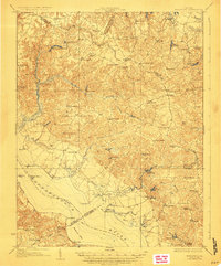
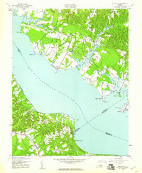
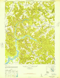
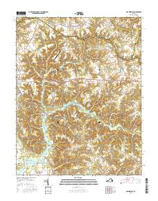
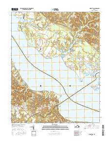
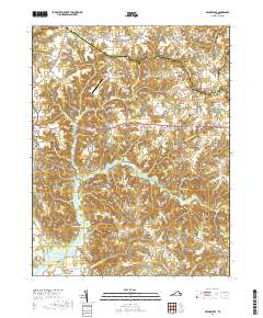
Historical Maps of Warsaw Through Time
22 maps found

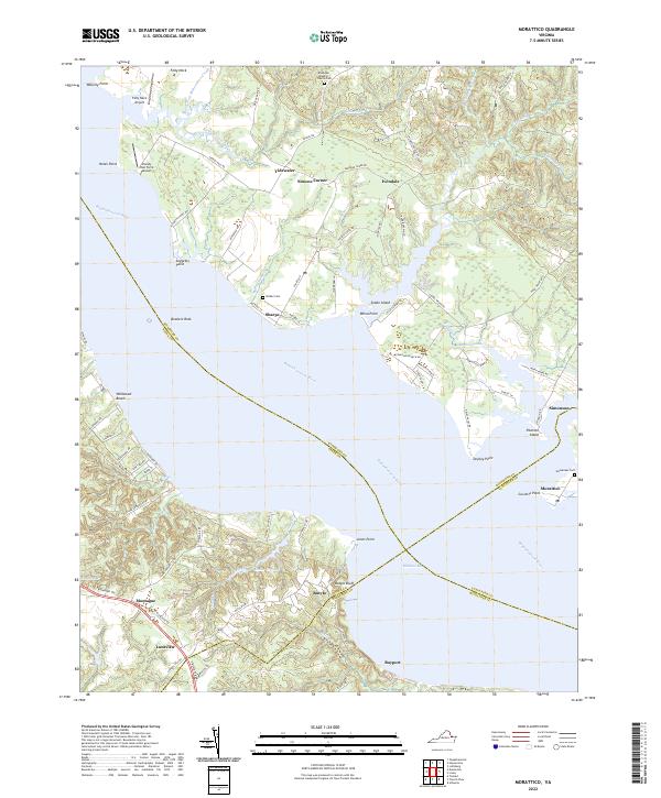
1917 Morattico
Richmond County, VA
1918 Morattico
Richmond County, VA

1926 Morattico
Richmond County, VA

1943 Richmond
Richmond County, VA
1944 Morattico
Richmond County, VA
1947 Haynesville
Richmond County, VA

1949 Richmond
Richmond County, VA

1959 Richmond
Richmond County, VA

1964 Richmond
Richmond County, VA
1968 Haynesville
Richmond County, VA
1968 Morattico
Richmond County, VA

1973 Richmond
Richmond County, VA
2011 Haynesville
Richmond County, VA
2011 Morattico
Richmond County, VA
2013 Haynesville
Richmond County, VA

2014 Morattico
Richmond County, VA
2016 Haynesville
Richmond County, VA
2016 Morattico
Richmond County, VA
2019 Haynesville
Richmond County, VA
2019 Morattico
Richmond County, VA
2022 Haynesville
Richmond County, VA
2022 Morattico
Richmond County, VA