Loading...
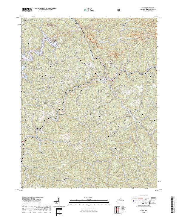
Loading map...2022 Map of Haysi
USGS Topo · Published 2022About this map
Haysi and Clinchco anchor this portion of Dickenson County, where the McClure River and Russell Fork carve deep paths through the coal country of Southwest Virginia. The landscape is defined by its ridges, including Pine Mountain and Turner Ridge, and the Jefferson National Forest provides a backdrop of protected woodlands. This survey records a dense network of mountain settlements and family landmarks, from Steinman and Birchleaf to smaller communities like Tenso and Nancy.
Find a feature on this map
95 named features on this map. Tap any name to fly to it.
Don’t see what you’re looking for? This feature index may not catch every label — zoom into the map to look around manually.
Map Details
Date Portrayed2022
Date Published2022
PublisherU.S. Geological Survey
Map TypeTopographic
Scale1:24000
Physical Dimensions24 x 29 inches
Editions of this 2022 Haysi Map
This is the sole edition of this map. No revisions or reprints were ever made.
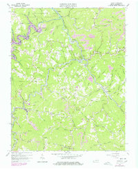
Historical Maps of Nancy Through Time
Featured Locations
Source Details
SourceU.S. Geological Survey
CopyrightPublic Domain