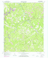
1963 Map of Haysi
USGS Topo · Published 1978About this map
The Clinchfield railroad carves through the narrow river valleys of Dickenson County, defining the industrial and social layout of this Appalachian coal region. Settlements like Clinchco and Haysi are tethered to the rail line and the Clinchfield River, where a complex network of tunnels such as Sykes Mill Tunnel, Goff Tunnel, and McClure Tunnel facilitate coal transit through the steep terrain. The 1970s revisions highlight the emergence of the John W Flannagan Reservoir along the Pound River, a significant hydrological shift from the original early-1960s survey.
Find a feature on this map
133 named features on this map. Tap any name to fly to it.
Don’t see what you’re looking for? This feature index may not catch every label — zoom into the map to look around manually.
Map Details
Editions of this 1963 Haysi Map
2 editions found
Other maps of this area

1886 · Grundy
USGS Topo · 1:125,000

1890 · Grundy
USGS Topo · 1:125,000

1892 · Grundy
USGS Topo · 1:125,000

1913 · Clintwood
USGS Topo · 1:62,500

1914 · Bucu
USGS Topo · 1:48,000

1914 · Hurley
USGS Topo · 1:48,000

1915 · Clintwood
USGS Topo · 1:62,500

1915 · Regina
USGS Topo · 1:48,000

1915 · Hurley
USGS Topo · 1:48,000

1916 · Bucu
USGS Topo · 1:62,500