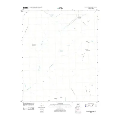
2010 Map of Headcut Reservoir
USGS Topo · Published 2010About this map
Arroyo Piedra Lumbre defines the drainage of this Sandoval County landscape, where early 21st-century water management infrastructure meets a history of mineral exploration. The presence of several Coal Prospect sites and established operations like the Peacock Number 1 Mine and Peacock Number 2 Mine indicates a terrain shaped by the search for resources. These industrial markings are interspersed with vital water features, including the central Headcut Reservoir, Zambarmo Lake, and flood control works such as Piedra Lumbre Detention Dam Number One.
Find a feature on this map
27 named features on this map. Tap any name to fly to it.
Don’t see what you’re looking for? This feature index may not catch every label — zoom into the map to look around manually.
Map Details
Editions of this 2010 Headcut Reservoir Map
This is the sole edition of this map. No revisions or reprints were ever made.
Other maps of this area

1883 · Mt. Taylor
USGS Topo · 1:250,000

1886 · Mt. Taylor
USGS Topo · 1:250,000

1890 · Jemes
USGS Topo · 1:125,000

1892 · Jemes
USGS Topo · 1:125,000

1892 · Mt. Taylor
USGS Topo · 1:250,000

1899 · Mt. Taylor
USGS Topo · 1:250,000

1939 · La Ventana
USGS Topo · 1:62,500

1939 · San Ysidro
USGS Topo · 1:62,500

1943 · San Ysidro
USGS Topo · 1:62,500

1943 · La Ventana
USGS Topo · 1:62,500