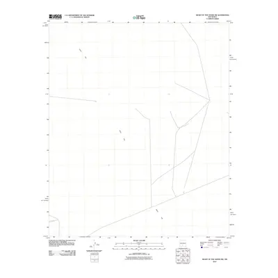
2010 Map of Heart of the Sands NW
USGS Topo · Published 2010About this map
Alkali Flat dominates this 2010 survey of Doña Ana County, New Mexico, revealing a landscape defined by expansive desert basins and minimal human infrastructure. The map depicts a network of primitive roads and trails that traverse the arid terrain, providing a look at the geographic character of the region before further modern developments. This specific area of the Tularosa Basin is characterized by its high-reflectivity salt crusts and seasonal playa features, shown here through the sparse labeling of the Alkali Flat region. The absence of traditional settlements or landmarks highlights the isolation of this corner of the state, which remains a primary focus for geological study and land management research.
Find a feature on this map
1 named feature on this map. Tap any name to fly to it.
Don’t see what you’re looking for? This feature index may not catch every label — zoom into the map to look around manually.
Map Details
Editions of this 2010 Heart of the Sands NW Map
This is the sole edition of this map. No revisions or reprints were ever made.
Other maps of this area

1916 · Tonuco
USGS Topo · 1:125,000

1916 · Salinas Peak
USGS Topo · 1:125,000

1916 · Tularosa
USGS Topo · 1:125,000

1916 · Point Of Sands
USGS Topo · 1:125,000

1932 · Tonuco
USGS Topo · 1:125,000

1947 · Point Of Sands 2
USGS Topo · 1:62,500

1948 · Kaylor Mountain
USGS Topo · 1:62,500

1948 · Black Top Mountain
USGS Topo · 1:62,500

1948 · Lumley Lake
USGS Topo · 1:62,500

1954 · Tularosa
USGS Topo · 1:250,000