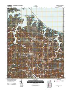
2011 Map of Heathsville
USGS Topo · Published 2011About this map
Heathsville serves as the focal point of this coastal landscape, situated amidst the intricate waterways of the Northern Neck. The map documents a region defined by its tidal geography, where the Potomac River meets a network of inlets including the Coan River and Hull Creek. The persistence of early industry is evident through numerous hydraulic features such as Bush Mill, Clarkes Milldam, and Sydnors Millpond Dam, reflecting a long history of water-powered commerce. Small settlements and crossroads like Middletons Corner, Luttrels Corner, and Hamlins Corner connect the interior farmland to the waterfront. Maritime activity is anchored at Forrest Landing and Rowes Landing, while the presence of Lewisetta and Cowart on the northern points illustrates the area's continued orientation toward the bay. The map also records local infrastructure like the Heathsville Airport and recreational spaces such as Kirkland Campground near the Crabbe Mill Stream.
Find a feature on this map
76 named features on this map. Tap any name to fly to it.
Don’t see what you’re looking for? This feature index may not catch every label — zoom into the map to look around manually.
Map Details
Editions of this 2011 Heathsville Map
This is the sole edition of this map. No revisions or reprints were ever made.
Other maps of this area

1892 · Piney Point
USGS Topo · 1:62,500

1894 · Piney Point
USGS Topo · 1:62,500

1894 · Point Lookout
USGS Topo · 1:62,500

1895 · Nomini
USGS Topo · 1:125,000

1895 · Piney Point
USGS Topo · 1:62,500

1898 · Nomini
USGS Topo · 1:125,000

1898 · St. Marys
USGS Topo · 1:125,000

1901 · Piney Point
USGS Topo · 1:62,500

1906 · St. Marys
USGS Topo · 1:125,000

1912 · Point Lookout
USGS Topo · 1:62,500