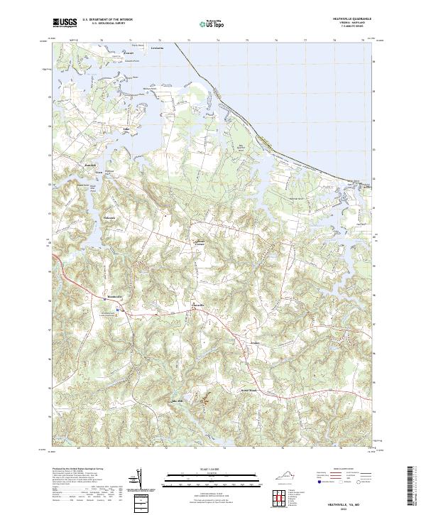
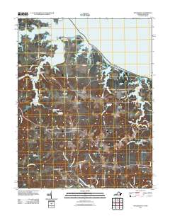
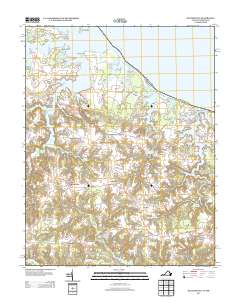
2022 Map of Heathsville
USGS Topo · Published 2022About this map
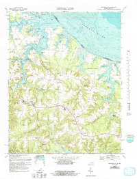
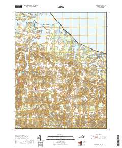
Heathsville serves as the focal point of this Northumberland County landscape, anchored by the Northumberland County Courthouse. The map illustrates a region defined by its relationship with the water, where the fingers of the Coan River and the Great Wicomico River reach deep into the coastal plain. Historically significant mill sites like Crabbe Mill, Sydnors Millpond, and Clark Millpond are situated along the interior streams, highlighting the early industrial reliance on local hydrography. Moving toward the shoreline, small communities and landings such as Lewisetta, Cordreys Beach, and Bundick are connected by a network of local roads that navigate around complex necks and coves. The map traces the varied terrain from the shoreline at Popes Point to the interior settlements of Claraville and Sissons Corner, documenting the modern persistence of these Tidewater places.
Find a feature on this map
127 named features on this map. Tap any name to fly to it.
Don’t see what you’re looking for? This feature index may not catch every label — zoom into the map to look around manually.
Map Details
Editions of this 2022 Heathsville Map
This is the sole edition of this map. No revisions or reprints were ever made.
Historical Maps of Heathsville Through Time
10 maps found
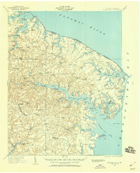
1917 Heathsville
Northumberland County, VA
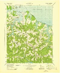
1944 Heathsville
Northumberland County, VA
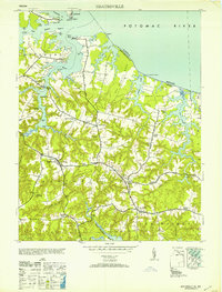
1953 Heathsville
Northumberland County, VA

1962 Heathsville
Northumberland County, VA
1968 Heathsville
Northumberland County, VA
2011 Heathsville
Northumberland County, VA
2013 Heathsville
Northumberland County, VA
2016 Heathsville
Northumberland County, VA
2019 Heathsville
Northumberland County, VA
2022 Heathsville
Northumberland County, VA