Loading...
Loading map...2023 Map of Hebron
USGS Topo · Published 2023About this map
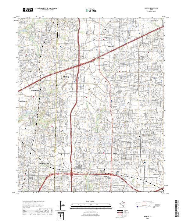
Hebron High School and the surrounding suburban expansion define this landscape along the Denton Co Collin Co line. The map traces the dense intersection of major transportation corridors, notably the Sam Rayburn Tollway and State Hwy 121, which cut through established communities like Lolaville, Shepton, and Camey. Despite the heavy modern development of Plano and Frisco, several small family burial grounds remain preserved amidst the grid, including Dunaway Cem and Baccus Cem.
Find a feature on this map
54 named features on this map. Tap any name to fly to it.
Don’t see what you’re looking for? This feature index may not catch every label — zoom into the map to look around manually.
Map Details
Date Portrayed2023
Date Published2023
PublisherU.S. Geological Survey
Map TypeTopographic
Scale1:24000
Physical Dimensions24 x 29 inches
Editions of this 2023 Hebron Map
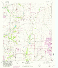
This is the sole edition of this map. No revisions or reprints were ever made.
Historical Maps of Dallas Through Time
Featured Locations
Source Details
SourceU.S. Geological Survey
CopyrightPublic Domain