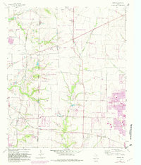
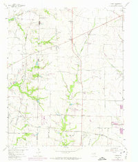
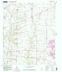
1960 Map of Hebron
USGS Topo · Published 1982About this map
The Denton Co Collin Co line bisects this landscape, illustrating the rapid expansion of North Texas at the dawn of the 1960s. Small rural communities like Hebron and Lebanon are shown before being largely overtaken by the sprawling suburban growth of Plano and The Colony, noted here in purple revision tints. The northern reaches include the shoreline of the Garza-Little Elm Reservoir and various family-named landmarks like Sonntag Cem and Baccus Cem, providing essential details for genealogists.
Find a feature on this map
32 named features on this map. Tap any name to fly to it.
Don’t see what you’re looking for? This feature index may not catch every label — zoom into the map to look around manually.
Map Details
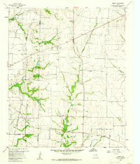
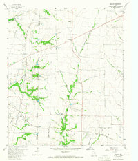
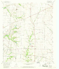
Editions of this 1960 Hebron Map
6 editions found
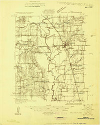
Other maps of this area

1891 · Dallas
USGS Topo · 1:125,000

1893 · Dallas
USGS Topo · 1:125,000

1925 · Mc Kinney 3-c
USGS Topo · 1:48,000
1925 · Dallas 2-b
USGS Topo · 1:48,000

1929 · Frisco
USGS Topo · 1:62,500

1929 · McKinney
USGS Topo · 1:62,500

1931 · Carrollton
USGS Topo · 1:62,500

1954 · Dallas
USGS Topo · 1:250,000

1954 · Sherman
USGS Topo · 1:250,000

1958 · Dallas
USGS Topo · 1:250,000