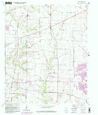
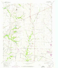
1960 Map of Hebron
USGS Topo · Published 1982About this map
Lebanon and the burgeoning community of The Colony anchor this 1960 survey of the North Texas landscape, showing the transition from agricultural land to suburban development. The map details a network of rural settlements like Lolaville, Camey, and Shepton along the border of Denton Co Collin Co. Transport and infrastructure are central to the area's layout, defined by the St Louis San Francisco RR and the Atchison Topeka and Santa FE RR.
Find a feature on this map
28 named features on this map. Tap any name to fly to it.
Don’t see what you’re looking for? This feature index may not catch every label — zoom into the map to look around manually.
Map Details
Editions of this 1960 Hebron Map
6 editions found
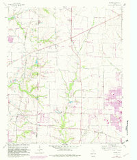
Other maps of this area

1891 · Dallas
USGS Topo · 1:125,000

1893 · Dallas
USGS Topo · 1:125,000

1925 · Mc Kinney 3-c
USGS Topo · 1:48,000

1925 · Dallas 2-b
USGS Topo · 1:48,000

1929 · Frisco
USGS Topo · 1:62,500

1929 · McKinney
USGS Topo · 1:62,500

1931 · Carrollton
USGS Topo · 1:62,500

1954 · Dallas
USGS Topo · 1:250,000

1954 · Sherman
USGS Topo · 1:250,000

1958 · Dallas
USGS Topo · 1:250,000