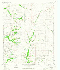
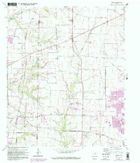
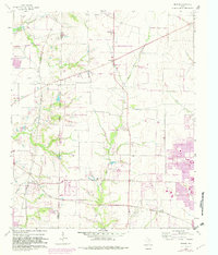
1960 Map of Hebron
USGS Topo · Published 1967About this map
The Denton Co Collin Co boundary line divides a landscape transitioning from rural agricultural tracts to early suburban development at the start of the 1960s. Rail transport remains a primary feature of the local economy, with the St Louis San Francisco and Texas and the Gulf Colorado and Santa Fe traversing the region. Significant water features like White Rock Creek and the edge of the Garza-Little Elm Reservoir shape the topography, while small community centers like Hebron and Lebanon serve as local anchors. Family history and early settlement patterns are preserved in several locations, including Sonntag Cem, Baccus Cem, and Bridges Cem. The presence of numerous Gravel Pits and a Quarry near Shepton points to the extractive industries supporting the area's growth during this era.
Find a feature on this map
27 named features on this map. Tap any name to fly to it.
Don’t see what you’re looking for? This feature index may not catch every label — zoom into the map to look around manually.
Map Details
Editions of this 1960 Hebron Map
6 editions found
Other maps of this area

1891 · Dallas
USGS Topo · 1:125,000

1893 · Dallas
USGS Topo · 1:125,000

1925 · Mc Kinney 3-c
USGS Topo · 1:48,000

1925 · Dallas 2-b
USGS Topo · 1:48,000

1929 · Frisco
USGS Topo · 1:62,500

1929 · McKinney
USGS Topo · 1:62,500

1931 · Carrollton
USGS Topo · 1:62,500

1954 · Dallas
USGS Topo · 1:250,000

1954 · Sherman
USGS Topo · 1:250,000

1958 · Dallas
USGS Topo · 1:250,000