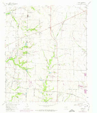
1960 Map of Hebron
USGS Topo · Published 1974About this map
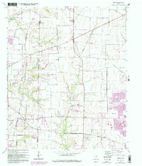
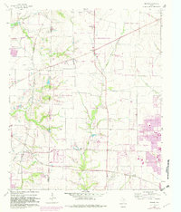
The agricultural and early suburban transition of the Denton Co Collin Co line is documented in this detailed 1960s study. Small settlements like Lebanon, Lolaville, and Camey anchor the landscape, while the presence of the St Louis San Francisco and Santa Fe and the Atchison Topeka and Santa Fe railroads highlight the historical importance of rail transit through North Texas. Local history is preserved through numerous family and community landmarks, including Sonntag Cem, Baccus Cem, and Liberty Ch. To the northwest, the edge of the Garza-Little Elm Reservoir appears, with notes indicating controlled inundation zones that altered the local topography. The map also reveals industrial and infrastructure features like Gravel Pits, a Quarry, and a Landing Field, illustrating the area's development before the massive expansion of the Dallas-Fort Worth metroplex reached these specific rural stretches.
Find a feature on this map
26 named features on this map. Tap any name to fly to it.
Don’t see what you’re looking for? This feature index may not catch every label — zoom into the map to look around manually.
Map Details
Editions of this 1960 Hebron Map
6 editions found
Other maps of this area

1891 · Dallas
USGS Topo · 1:125,000

1893 · Dallas
USGS Topo · 1:125,000

1925 · Mc Kinney 3-c
USGS Topo · 1:48,000

1925 · Dallas 2-b
USGS Topo · 1:48,000

1929 · Frisco
USGS Topo · 1:62,500

1929 · McKinney
USGS Topo · 1:62,500

1931 · Carrollton
USGS Topo · 1:62,500

1954 · Dallas
USGS Topo · 1:250,000

1954 · Sherman
USGS Topo · 1:250,000

1958 · Dallas
USGS Topo · 1:250,000