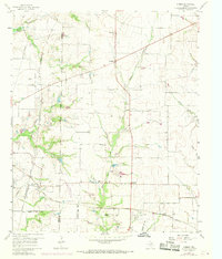
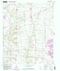
1960 Map of Hebron
USGS Topo · Published 1969About this map
The Denton Co Collin Co boundary line divides this agricultural landscape, where small crossroads communities and family cemeteries anchor the countryside. Early 1960s rural life is visible in settlements like Hebron and Lebanon, before the northward expansion of the Dallas suburbs reached this area. Several family burial grounds, including Sonntag Cem, Bridges Cem, and Baccus Cem, provide essential evidence for genealogical research in this part of North Texas.
Find a feature on this map
28 named features on this map. Tap any name to fly to it.
Don’t see what you’re looking for? This feature index may not catch every label — zoom into the map to look around manually.
Map Details
Editions of this 1960 Hebron Map
6 editions found
Other maps of this area

1891 · Dallas
USGS Topo · 1:125,000

1893 · Dallas
USGS Topo · 1:125,000

1925 · Mc Kinney 3-c
USGS Topo · 1:48,000

1925 · Dallas 2-b
USGS Topo · 1:48,000

1929 · Frisco
USGS Topo · 1:62,500

1929 · McKinney
USGS Topo · 1:62,500

1931 · Carrollton
USGS Topo · 1:62,500

1954 · Dallas
USGS Topo · 1:250,000

1954 · Sherman
USGS Topo · 1:250,000

1958 · Dallas
USGS Topo · 1:250,000