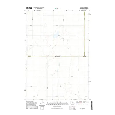
2014 Map of Hecla NE
USGS Topo · Published 2014About this map
Portage Detroit Ditch defines the low-lying prairie hydrology of this border region, cutting through a landscape of shallow wetlands and seasonal basins. This 2014 survey captures the precise intersection where Dickey Co and Sargent Co in North Dakota meet Brown Co in South Dakota. The survey reveals a strictly rectilinear section-line road system, including routes like 109th Ave SE and 101st St SE, which impose human order on a terrain dominated by glacial depressions. The absence of traditional townsites underscores the rural, agricultural character of this area, where land management revolves around the drainage patterns of the ditch system across the state line.
Find a feature on this map
26 named features on this map. Tap any name to fly to it.
Don’t see what you’re looking for? This feature index may not catch every label — zoom into the map to look around manually.
Map Details
Editions of this 2014 Hecla NE Map
This is the sole edition of this map. No revisions or reprints were ever made.
Other maps of this area

1894 · Hecla
USGS Topo · 1:62,500

1894 · Oakes
USGS Topo · 1:62,500

1895 · Lamoure
USGS Topo · 1:125,000

1896 · Columbia
USGS Topo · 1:125,000

1918 · La Moure
USGS Topo · 1:125,000

1953 · Jamestown
USGS Topo · 1:250,000

1953 · Hecla SE
USGS Topo · 1:24,000

1953 · Houghton
USGS Topo · 1:24,000

1953 · Newark SW
USGS Topo · 1:24,000

1953 · Milbank
USGS Topo · 1:250,000