
1894 Map of Hecla
USGS Topo · Published 1894About this map
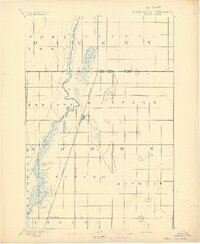
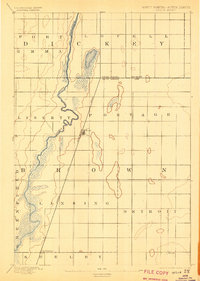
Hecla stands at the center of this 1892 survey, a critical junction where the Chicago and Northwestern Railway strikes a straight line across the prairie. The landscape is defined by the winding course of the James River, which meanders through the western portion of the sheet, surrounded by extensive wetlands and marshy depressions. This era of settlement is marked by a rigid grid of civil townships such as Lansing, Greenfield, and Port Lovell, which organize the territory on both sides of the North Dakota South Dakota Boundary Line. Smaller rail-oriented settlements like Houghton and Detroit appear in the southern half, illustrating the early influence of the railroad on the development of Brown County. The map provides a look at the hydrography of the James River valley before modern agricultural drainage significantly altered the local water table.
Find a feature on this map
16 named features on this map. Tap any name to fly to it.
Don’t see what you’re looking for? This feature index may not catch every label — zoom into the map to look around manually.
Map Details
Editions of this 1894 Hecla Map
4 editions found
Other maps of this area

1894 · Columbia
USGS Topo · 1:62,500

1894 · Savo
USGS Topo · 1:62,500

1894 · Fullerton
USGS Topo · 1:62,500

1894 · Oakes
USGS Topo · 1:62,500

1895 · Lamoure
USGS Topo · 1:125,000

1896 · Columbia
USGS Topo · 1:125,000

1918 · La Moure
USGS Topo · 1:125,000

1952 · Columbia NE
USGS Topo · 1:24,000

1953 · Jamestown
USGS Topo · 1:250,000

1953 · Hecla SE
USGS Topo · 1:24,000