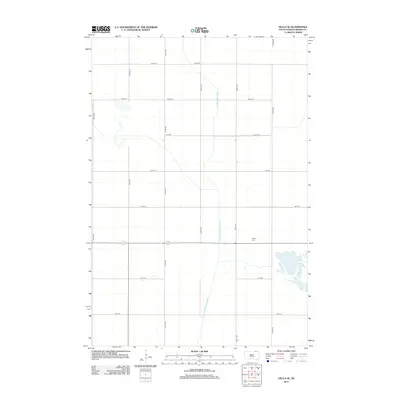
2012 Map of Hecla SE
USGS Topo · Published 2012About this map
The agricultural landscape of Brown County is defined by a strictly organized grid of rural roads and an extensive network of water management features. Detroit Cem serves as a significant local landmark, situated amidst the section lines and vast farm plots of the South Dakota plains. The map reveals the intricate water engineering required for this prairie region, specifically through the Crow Creek Drainage Ditch and the Portage Detroit Ditch. These man-made channels intersect the cardinal-direction roads like 408th Ave and 107th St, illustrating the vital role of hydrological management in sustaining the area's twentieth and twenty-first-century farming economy.
Find a feature on this map
16 named features on this map. Tap any name to fly to it.
Don’t see what you’re looking for? This feature index may not catch every label — zoom into the map to look around manually.
Map Details
Editions of this 2012 Hecla SE Map
This is the sole edition of this map. No revisions or reprints were ever made.
Other maps of this area

1894 · Hecla
USGS Topo · 1:62,500

1896 · Columbia
USGS Topo · 1:125,000

1953 · Hecla SE
USGS Topo · 1:24,000

1953 · Houghton
USGS Topo · 1:24,000

1953 · Newark SW
USGS Topo · 1:24,000

1953 · Milbank
USGS Topo · 1:250,000

1954 · Daly Corners
USGS Topo · 1:24,000

1954 · Aberdeen
USGS Topo · 1:250,000

1956 · Aberdeen
USGS Topo · 1:250,000
1956 · Hecla
USGS Topo · 1:24,000
Featured Places
- Hecla Township, SD
- Portage Township, SD
- North Detroit Township, SD
- South Detroit Township, SD
- Shelby Township, SD