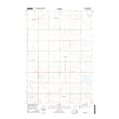
2015 Map of Hecla SE
USGS Topo · Published 2015About this map
Detroit Cem serves as a primary historical landmark in this corner of Brown County, situated amidst a landscape heavily modified for agricultural water management. The terrain is defined by an extensive network of drainage systems, most notably the Crow Cr Drainage Ditch and the Portage Detroit Ditch, which cut through the sectional grid to manage the low-lying prairie lands. These engineering features illustrate the late 20th and early 21st-century efforts to stabilize the water table for farming. The map is framed by a rigid section-line road network, including thoroughfares such as 105th St and 112th St, which partition the township into the precise geometric patterns typical of the James River Valley region.
Find a feature on this map
17 named features on this map. Tap any name to fly to it.
Don’t see what you’re looking for? This feature index may not catch every label — zoom into the map to look around manually.
Map Details
Editions of this 2015 Hecla SE Map
This is the sole edition of this map. No revisions or reprints were ever made.
Other maps of this area

1894 · Hecla
USGS Topo · 1:62,500

1896 · Columbia
USGS Topo · 1:125,000

1953 · Hecla SE
USGS Topo · 1:24,000

1953 · Houghton
USGS Topo · 1:24,000

1953 · Newark SW
USGS Topo · 1:24,000

1953 · Milbank
USGS Topo · 1:250,000

1954 · Daly Corners
USGS Topo · 1:24,000

1954 · Aberdeen
USGS Topo · 1:250,000

1956 · Aberdeen
USGS Topo · 1:250,000
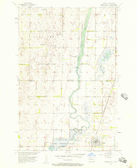
1956 · Hecla
USGS Topo · 1:24,000
Featured Places
- Hecla Township, SD
- Portage Township, SD
- North Detroit Township, SD
- South Detroit Township, SD
- Shelby Township, SD