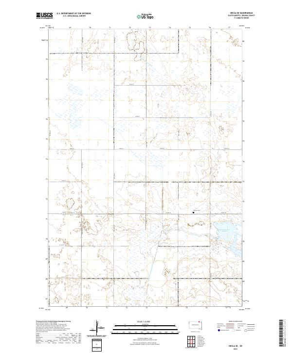
2021 Map of Hecla SE
USGS Topo · Published 2021About this map
Detroit Cem sits as a lonely landmark within the strictly surveyed townships of north-central South Dakota. The landscape here is defined by a rigid grid of rural roads, including 408th Ave and 110th St, which segment the prairie into precise agricultural blocks. These human-made boundaries contrast with the irregular spread of Renzienhausen Slough, a significant wetland feature that dominates the southeastern portion of the quadrangle. Water management is a central theme of this terrain, evidenced by the engineered paths of the Portage Detroit Ditch and the Crow Cr Drainage Ditch. These drainage systems reflect a long history of converting the naturally marshy pothole region into productive farmland, a process that has fundamentally altered the hydrology of Brown County.
Find a feature on this map
24 named features on this map. Tap any name to fly to it.
Don’t see what you’re looking for? This feature index may not catch every label — zoom into the map to look around manually.
Map Details
Editions of this 2021 Hecla SE Map
This is the sole edition of this map. No revisions or reprints were ever made.
Other maps of this area

1894 · Hecla
USGS Topo · 1:62,500

1896 · Columbia
USGS Topo · 1:125,000

1953 · Hecla SE
USGS Topo · 1:24,000

1953 · Houghton
USGS Topo · 1:24,000

1953 · Newark SW
USGS Topo · 1:24,000

1953 · Milbank
USGS Topo · 1:250,000

1954 · Daly Corners
USGS Topo · 1:24,000

1954 · Aberdeen
USGS Topo · 1:250,000

1956 · Aberdeen
USGS Topo · 1:250,000
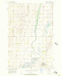
1956 · Hecla
USGS Topo · 1:24,000
Featured Places
- North Detroit Township, SD
- Lansing Township, SD
- Shelby Township, SD
- South Detroit Township, SD
- Portage Township, SD