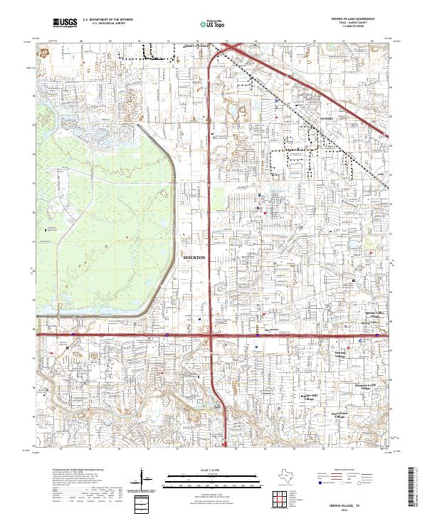
2022 Map of Hedwig Village
USGS Topo · Published 2022About this map
The western edges of Houston are defined by a sophisticated water management system and a cluster of established suburban villages in this 2022 survey. Buffalo Bayou meanders across the southern landscape, fed by tributaries like Rummel Cr and Turkey Cr, while the massive Addicks Dam structure anchors the western corridor. This area showcases the transition from the dense residential developments of Spring Valley Village and Bunker Hill Village to the critical drainage basins designed to protect the region from flooding.
Find a feature on this map
252 named features on this map. Tap any name to fly to it.
Don’t see what you’re looking for? This feature index may not catch every label — zoom into the map to look around manually.
Map Details
Editions of this 2022 Hedwig Village Map
This is the sole edition of this map. No revisions or reprints were ever made.
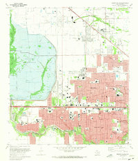
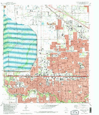
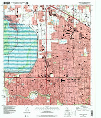
Historical Maps of Jersey Village Through Time
4 maps found
Featured Locations
- Bunker Hill Village, TX
- Houston, TX
- Jersey Village, TX
- Hunters Creek Village, TX
- Spring Valley Village, TX