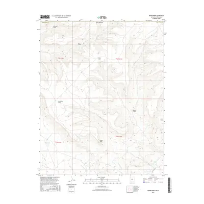
2017 Map of Heifer Point
USGS Topo · Published 2017About this map
Heifer Point rises as a central landmark in this high-desert landscape of San Juan County, where deep drainages and intermittent water sources define the geography. The terrain is characterized by a network of significant canyons, including North Salt Canyon, Straight Canyon, and Middle Canyon, which facilitate the region's complex drainage pattern toward the Salt Wash. These natural conduits are vital in an arid environment where water is a primary shaper of both the land and its human history.
Find a feature on this map
22 named features on this map. Tap any name to fly to it.
Don’t see what you’re looking for? This feature index may not catch every label — zoom into the map to look around manually.
Map Details
Editions of this 2017 Heifer Point Map
This is the sole edition of this map. No revisions or reprints were ever made.
Other maps of this area

1889 · Chaco
USGS Topo · 1:250,000

1892 · Chaco
USGS Topo · 1:250,000

1912 · Soda Canyon
USGS Topo · 1:62,500

1915 · Soda Canyon
USGS Topo · 1:62,500

1934 · Chimney Rock
USGS Topo · 1:62,500

1936 · Chimney Rock
USGS Topo · 1:62,500

1954 · Shiprock
USGS Topo · 1:250,000

1956 · Cortez
USGS Topo · 1:250,000

1958 · Cortez
USGS Topo · 1:250,000

1958 · Shiprock
USGS Topo · 1:250,000