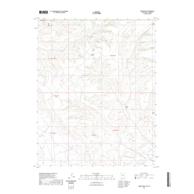
2023 Map of Heifer Point
USGS Topo · Published 2023About this map
Heifer Point overlooks a network of deep-cut drainage systems in this corner of San Juan County, where high desert plateaus are dissected by Straight Canyon, Cottonwood Canyon, and Picket Canyon. Water resources are central to this landscape, indicated by several named points such as Tsuurkaia Paachihpi Spring, Navajo Spring, and Cottonwood Spring. The terrain is shaped by an intricate system of arroyos, including Shumway Arroyo, Westwater Arroyo, and Eagle Nest Arroyo, which feed toward the Salt Creek Wash.
Find a feature on this map
20 named features on this map. Tap any name to fly to it.
Don’t see what you’re looking for? This feature index may not catch every label — zoom into the map to look around manually.
Map Details
Editions of this 2023 Heifer Point Map
This is the sole edition of this map. No revisions or reprints were ever made.
Other maps of this area

1889 · Chaco
USGS Topo · 1:250,000

1892 · Chaco
USGS Topo · 1:250,000

1912 · Soda Canyon
USGS Topo · 1:62,500

1915 · Soda Canyon
USGS Topo · 1:62,500

1934 · Chimney Rock
USGS Topo · 1:62,500

1936 · Chimney Rock
USGS Topo · 1:62,500

1954 · Shiprock
USGS Topo · 1:250,000

1956 · Cortez
USGS Topo · 1:250,000

1958 · Cortez
USGS Topo · 1:250,000

1958 · Shiprock
USGS Topo · 1:250,000