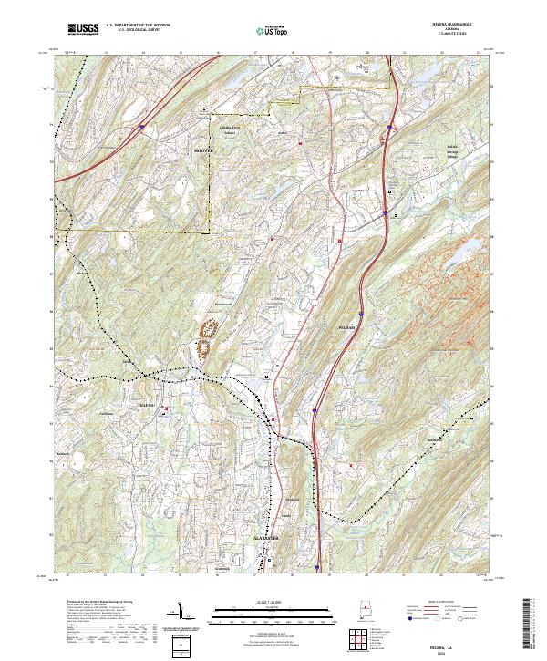
2024 Map of Helena
USGS Topo · Published 2024About this map
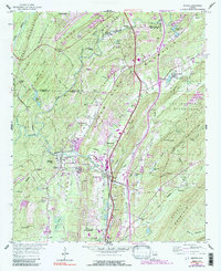
Helena and Pelham serve as the central hubs of this survey, where the suburban growth of the Hoover area meets the distinct ridges of the Alabama landscape. The topography is defined by parallel elevations including Shades Mountain, New Hope Mountain, and Double Oak Mountain, which channel the Cahaba River and its tributaries like Buck Creek through the corridor. The map reveals a dense network of residential developments interspersed with older markers of community identity, such as Acton Cem and Helena Cem.
Find a feature on this map
84 named features on this map. Tap any name to fly to it.
Don’t see what you’re looking for? This feature index may not catch every label — zoom into the map to look around manually.
Map Details
Editions of this 2024 Helena Map
This is the sole edition of this map. No revisions or reprints were ever made.
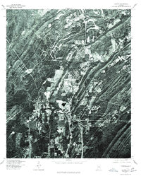
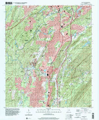
Historical Maps of Acton Through Time
4 maps found