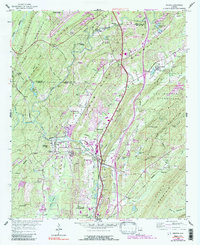
1959 Map of Helena
USGS Topo · Published 1991About this map
The Cahaba River winds through a landscape defined by sharp ridge-and-valley topography, dividing the industrial and residential growth of Hoover and Pelham in Shelby and Jefferson counties. This 1959 survey, updated with 1980s photo revisions, captures the era when the Seaboard railroad still dictated the orientation of settlements like Helena, Falliston, and Roebuck. The map reveals a dense network of local landmarks, from the Mars Hill Ch and Cumberland Cem to the sprawling recreation area of Oak Mountain State Park in the southeast.
Find a feature on this map
79 named features on this map. Tap any name to fly to it.
Don’t see what you’re looking for? This feature index may not catch every label — zoom into the map to look around manually.
Map Details
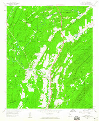
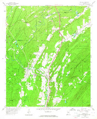
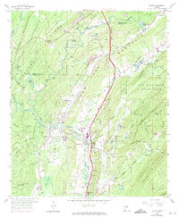
Editions of this 1959 Helena Map
7 editions found
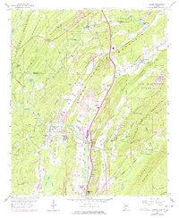
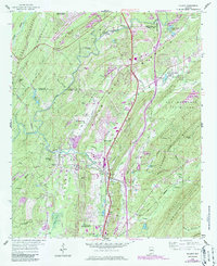
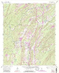
Other maps of this area

1890 · Bessemer
USGS Topo · 1:125,000

1892 · Bessemer
USGS Topo · 1:125,000

1905 · Bessemer Iron District
USGS Topo · 1:62,500

1906 · Vandiver
USGS Topo · 1:62,500

1907 · Bessemer Special
USGS Topo · 1:62,500

1908 · Vandiver
USGS Topo · 1:62,500

1909 · Columbiana
USGS Topo · 1:62,500

1910 · Montevallo
USGS Topo · 1:62,500

1911 · Columbiana
USGS Topo · 1:62,500

1953 · Birmingham
USGS Topo · 1:250,000