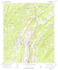
1959 Map of Helena
USGS Topo · Published 1978About this map
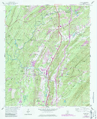
The Cahaba River winds through this Central Alabama landscape, defining the transition between the valley floors and the steep ridges of Shades Mountain and Oak Mountain. In the late 1950s, the region was characterized by its industrial roots, with numerous Quarries, Gravel Pits, and a Strip Mine scattered among developing communities. The intersection of the Louisville and Nashville Railroad and the Seaboard Coast Line at Helena marks a historic transportation hub, while newer infrastructure like the Tank Farm near Alabaster signals the era's mid-century expansion. Local landmarks such as Peavine Falls within Oak Mountain State Park provide a natural contrast to the heavy industry of Hardy and Keystone. Genealogists may find value in the locations of Cumberland Cem and Oldham Cem, as well as small community centers like Piney Grove Ch.
Find a feature on this map
80 named features on this map. Tap any name to fly to it.
Don’t see what you’re looking for? This feature index may not catch every label — zoom into the map to look around manually.
Map Details
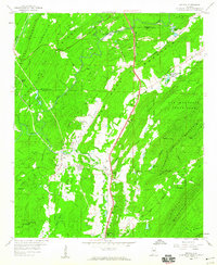
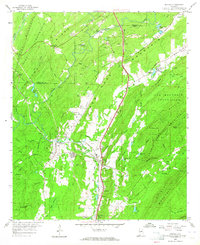
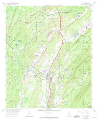
Editions of this 1959 Helena Map
7 editions found
Other maps of this area

1890 · Bessemer
USGS Topo · 1:125,000

1892 · Bessemer
USGS Topo · 1:125,000

1905 · Bessemer Iron District
USGS Topo · 1:62,500

1906 · Vandiver
USGS Topo · 1:62,500

1907 · Bessemer Special
USGS Topo · 1:62,500

1908 · Vandiver
USGS Topo · 1:62,500

1909 · Columbiana
USGS Topo · 1:62,500

1910 · Montevallo
USGS Topo · 1:62,500

1911 · Columbiana
USGS Topo · 1:62,500

1953 · Birmingham
USGS Topo · 1:250,000