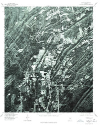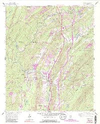
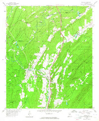
1959 Map of Helena
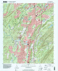
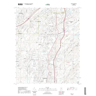
USGS Topo · Published 1991About this map
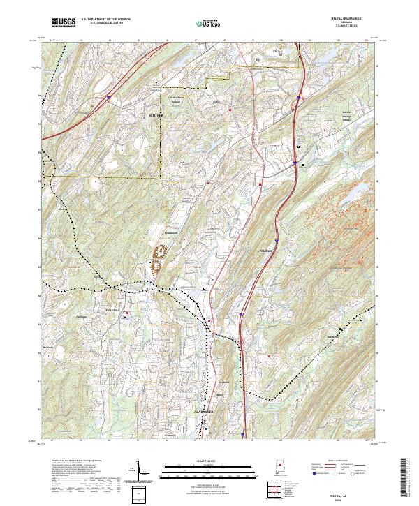
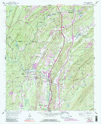
Pelham and Helena stand as central hubs in this mid-century look at Shelby County, where the industrial landscape meets the ridgelines of the Appalachian foothills. The Seaboard railroad serves as a primary artery through the region, connecting the residential areas with industrial operations like the Strip Mine and various quarries near Keystone. The terrain is defined by a series of parallel ridges, including Shades Mountain and New Hope Ridge, which funnel development into the low-lying Possum Valley. To the east, the undeveloped expanse of Oak Mountain State Park provides a stark contrast to the growing footprints of Alabaster and Hoover. Local history is preserved in the placement of the Cumberland Cem and Oldham Cem, alongside rural landmarks like the Piney Grove Ch.
Find a feature on this map
73 named features on this map. Tap any name to fly to it.
Don’t see what you’re looking for? This feature index may not catch every label — zoom into the map to look around manually.
Map Details
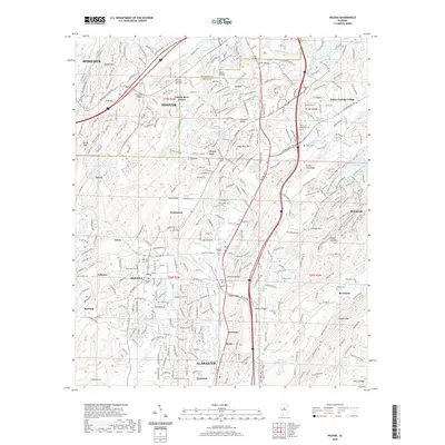
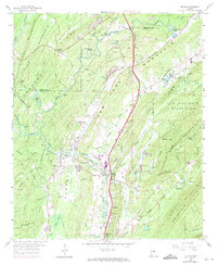
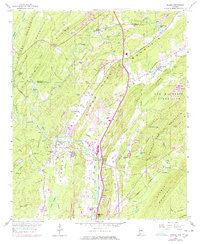
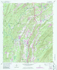
Editions of this 1959 Helena Map
7 editions found

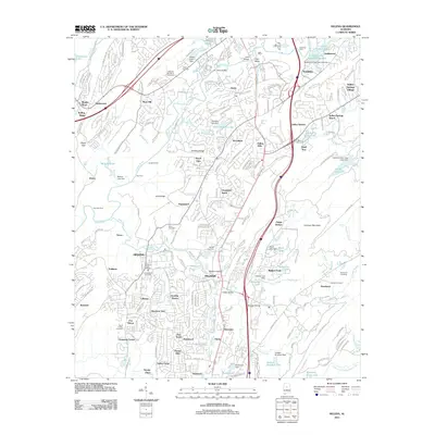
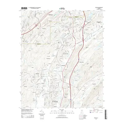
Historical Maps of Hoover Through Time
8 maps found