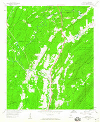
1959 Map of Helena
USGS Topo · Published 1960About this map
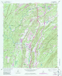
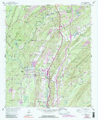
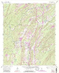
Helena and its industrial surroundings are defined by the convergence of the Louisville and Nashville and Atlantic Coast Line railroads during the late 1950s. The landscape is a complex mix of ridge-and-valley terrain, where heavy extraction operations like Strip Mines, a Quarry, and numerous Gravel Pits operate alongside residential developments like Cahaba River Estates. The Cahaba River winds through the northern section, crossed by Bains Bridge and Cobb Bridge, providing a natural boundary near the Jefferson and Shelby County line.
Find a feature on this map
69 named features on this map. Tap any name to fly to it.
Don’t see what you’re looking for? This feature index may not catch every label — zoom into the map to look around manually.
Map Details
Editions of this 1959 Helena Map
7 editions found
Other maps of this area

1890 · Bessemer
USGS Topo · 1:125,000

1892 · Bessemer
USGS Topo · 1:125,000

1905 · Bessemer Iron District
USGS Topo · 1:62,500

1906 · Vandiver
USGS Topo · 1:62,500

1907 · Bessemer Special
USGS Topo · 1:62,500

1908 · Vandiver
USGS Topo · 1:62,500

1909 · Columbiana
USGS Topo · 1:62,500

1910 · Montevallo
USGS Topo · 1:62,500

1911 · Columbiana
USGS Topo · 1:62,500

1953 · Birmingham
USGS Topo · 1:250,000