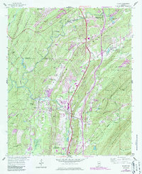
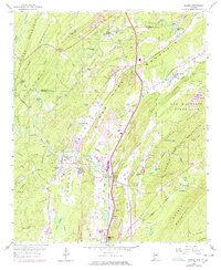
1959 Map of Helena
USGS Topo · Published 1986About this map
The Cahaba River winds through a landscape of ridges and valleys during a period of transition in Shelby County. To the north, the growing community of Hoover sits atop Shades Mountain, while the southern reaches show the industrial and residential development of Alabaster and Pelham. This mid-century survey illustrates the importance of the Seaboard RR and U.S. Highway 31 as primary corridors for the area's growth.
Find a feature on this map
75 named features on this map. Tap any name to fly to it.
Don’t see what you’re looking for? This feature index may not catch every label — zoom into the map to look around manually.
Map Details
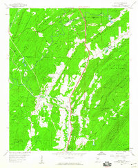
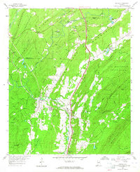
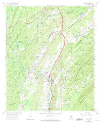
Editions of this 1959 Helena Map
7 editions found
Other maps of this area

1890 · Bessemer
USGS Topo · 1:125,000

1892 · Bessemer
USGS Topo · 1:125,000

1905 · Bessemer Iron District
USGS Topo · 1:62,500

1906 · Vandiver
USGS Topo · 1:62,500

1907 · Bessemer Special
USGS Topo · 1:62,500

1908 · Vandiver
USGS Topo · 1:62,500

1909 · Columbiana
USGS Topo · 1:62,500

1910 · Montevallo
USGS Topo · 1:62,500

1911 · Columbiana
USGS Topo · 1:62,500

1953 · Birmingham
USGS Topo · 1:250,000