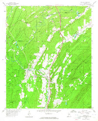
1959 Map of Helena
USGS Topo · Published 1964About this map
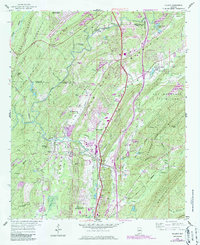
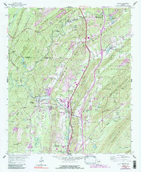
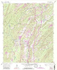
Helena and the industrial corridors of New Hope Valley define the landscape of northern Shelby County during the late 1950s. The area is anchored by the crossing of the Atlantic Coast Line and the Louisville and Nashville Railroad, supporting a local economy built on lime and coal. Numerous quarries and strip mines are etched into the ridges, particularly near Keystone and Acton. The map reveals a transition from industrial activity to nature at Oak Mountain State Park, where Peavine Falls and Johnson Creek drain the slopes of Double Oak Mountain. Notable local landmarks include the Helena Airstrip, Indian Spring School, and several rural burial grounds such as Cumberland Cemetery and Oldham Cemetery. This survey captures these small communities—including Pelham and Alabaster—just as suburban development began to intersect with long-standing mining and rail operations.
Find a feature on this map
70 named features on this map. Tap any name to fly to it.
Don’t see what you’re looking for? This feature index may not catch every label — zoom into the map to look around manually.
Map Details
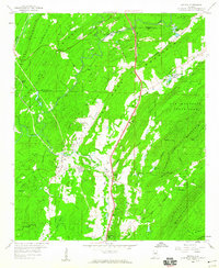
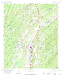
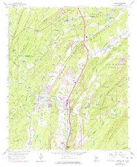
Editions of this 1959 Helena Map
7 editions found
Other maps of this area

1890 · Bessemer
USGS Topo · 1:125,000

1892 · Bessemer
USGS Topo · 1:125,000

1905 · Bessemer Iron District
USGS Topo · 1:62,500

1906 · Vandiver
USGS Topo · 1:62,500

1907 · Bessemer Special
USGS Topo · 1:62,500

1908 · Vandiver
USGS Topo · 1:62,500

1909 · Columbiana
USGS Topo · 1:62,500

1910 · Montevallo
USGS Topo · 1:62,500

1911 · Columbiana
USGS Topo · 1:62,500

1953 · Birmingham
USGS Topo · 1:250,000