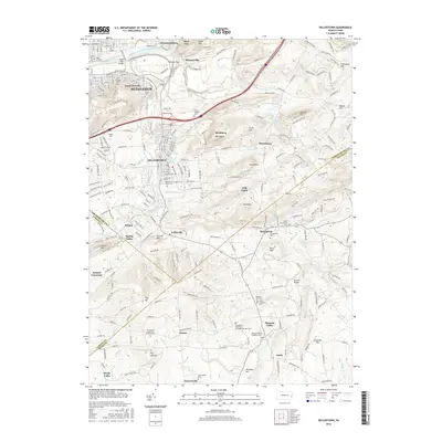
2016 Map of Hellertown
USGS Topo · Published 2016About this map
The Lehigh River and the historical Lehigh Coal and Navigation Canal define the northern edge of this Pennsylvania landscape, where the urban expansion of Bethlehem meets the Saucon Valley. Major educational landmarks like Lehigh Univ and DeSales University are established across the terrain, reflecting the region's long-standing academic character. Further south, the map details a transition from industrial and urban centers into a network of smaller villages such as Leithsville, Springtown, and Pleasant Valley.
Find a feature on this map
79 named features on this map. Tap any name to fly to it.
Don’t see what you’re looking for? This feature index may not catch every label — zoom into the map to look around manually.
Map Details
Editions of this 2016 Hellertown Map
This is the sole edition of this map. No revisions or reprints were ever made.
Other maps of this area

1888 · Quakertown
USGS Topo · 1:62,500

1890 · Easton
USGS Topo · 1:62,500

1890 · Doylestown
USGS Topo · 1:62,500

1890 · Quakertown
USGS Topo · 1:62,500

1891 · Easton
USGS Topo · 1:62,500

1891 · Doylestown
USGS Topo · 1:62,500

1894 · Allentown
USGS Topo · 1:62,500

1894 · Quakertown
USGS Topo · 1:62,500

1932 · Easton
USGS Topo · 1:62,500

1939 · Allentown
USGS Topo · 1:62,500