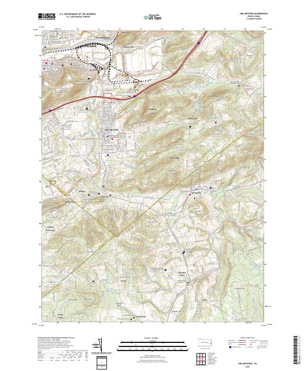
2023 Map of Hellertown
USGS Topo · Published 2023About this map
Hellertown and the southern edge of Bethlehem anchor this survey of the Lehigh Valley, where the Saucon Creek winds through a landscape of historic academic institutions and scattered rural hamlets. The presence of Lehigh University - Murray H Goodman Campus and DeSales University highlights the area's educational development, while the Saucon Rail Trl follows the corridor of the region’s industrial past. Numerous colonial-era burial grounds and meetinghouses, such as the Springfield Mennonite Meetinghouse and Cem and the New Jerusalem Old Cem, reflect the deep-rooted German and Scotch-Irish heritage of the surrounding valleys.
Find a feature on this map
94 named features on this map. Tap any name to fly to it.
Don’t see what you’re looking for? This feature index may not catch every label — zoom into the map to look around manually.
Map Details
Editions of this 2023 Hellertown Map
This is the sole edition of this map. No revisions or reprints were ever made.
Other maps of this area

1888 · Quakertown
USGS Topo · 1:62,500

1890 · Easton
USGS Topo · 1:62,500

1890 · Doylestown
USGS Topo · 1:62,500

1890 · Quakertown
USGS Topo · 1:62,500

1891 · Easton
USGS Topo · 1:62,500

1891 · Doylestown
USGS Topo · 1:62,500

1894 · Allentown
USGS Topo · 1:62,500

1894 · Quakertown
USGS Topo · 1:62,500

1932 · Easton
USGS Topo · 1:62,500

1939 · Allentown
USGS Topo · 1:62,500