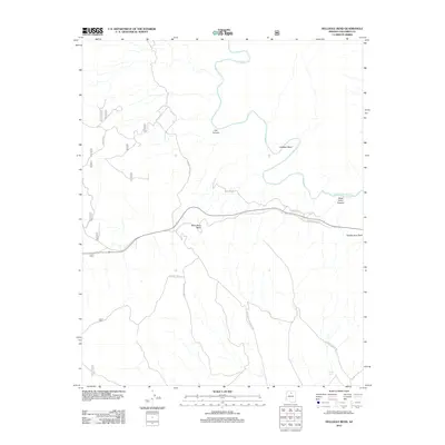
2012 Map of Hellhole Bend
USGS Topo · Published 2012About this map
The Little Colorado River defines the landscape of this Coconino County region, carving dramatic features like Hellhole Bend and Mule Shoe Bend. This 2012 survey illustrates a rugged expanse of high-desert terrain marked by deep incisions such as Lee Canyon and Dead Indian Canyon. The map reveals a specialized network of primitive and forest roads, including the Gray Mountain Truck Trl and Coconino Rim Rd, which navigate the elevation changes near prominent landmarks like Saddle Horn Rock and the Saddle Seat. Sparse water resources, essential in this arid environment, are represented by catchments like Smiley Tank. This documentation of the area’s topography highlights the transition between historical routes like Old Hwy 64 and more modern forest management roads, serving as a record of access and land use within the Coconino National Forest boundaries.
Find a feature on this map
24 named features on this map. Tap any name to fly to it.
Don’t see what you’re looking for? This feature index may not catch every label — zoom into the map to look around manually.
Map Details
Editions of this 2012 Hellhole Bend Map
This is the sole edition of this map. No revisions or reprints were ever made.
Other maps of this area
1886 · San Francisco Mtns
USGS Topo · 1:250,000
1886 · Echo Cliffs
USGS Topo · 1:250,000
1891 · San Francisco Mtns
USGS Topo · 1:250,000
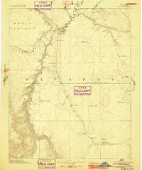
1891 · Echo Cliffs
USGS Topo · 1:250,000
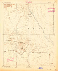
1894 · San Francisco Mtns
USGS Topo · 1:250,000
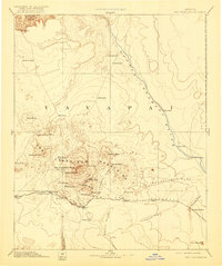
1899 · San Francisco Mtns
USGS Topo · 1:250,000
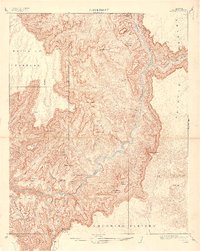
1907 · Vishnu
USGS Topo · 1:48,000

1947 · Flagstaff
USGS Topo · 1:250,000
1954 · Flagstaff
USGS Topo · 1:250,000
1955 · Coconino Pt SE
USGS Topo · 1:24,000