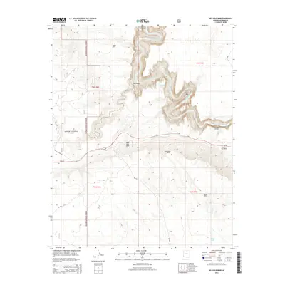
2014 Map of Hellhole Bend
USGS Topo · Published 2014About this map
The Little Colorado River Gorge dominates this high-plateau landscape, carving a deep, serpentine path through the terrain as the Little Colorado River winds north toward its confluence with the Colorado River. The dramatic geological formations include Hellhole Bend and the sharp oxbow of Mule Shoe Bend, where the canyon walls drop precipitously from the surrounding flats. To the west, the Kaibab National Forest boundary meets the high desert, transitioning from the timbered reaches of the Upper Basin toward the starker topography of the Coconino Rim. Human infrastructure is sparse, defined by the modern corridor of Az-64 and traces of the Old Highway 64, reflecting the region's history as a transit corridor toward the Grand Canyon. Scattered water sources like Petroglyphs Tank and Smiley Tank serve as vital landmarks in this arid environment, while features like Saddle Horn Rock and Gray Mtn provide essential navigational reference points across the vast stretches of Lower Basin.
Find a feature on this map
26 named features on this map. Tap any name to fly to it.
Don’t see what you’re looking for? This feature index may not catch every label — zoom into the map to look around manually.
Map Details
Editions of this 2014 Hellhole Bend Map
This is the sole edition of this map. No revisions or reprints were ever made.
Other maps of this area
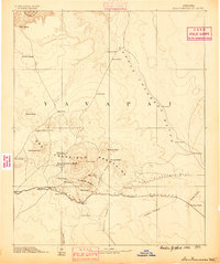
1886 · San Francisco Mtns
USGS Topo · 1:250,000
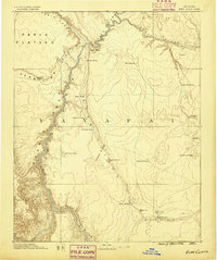
1886 · Echo Cliffs
USGS Topo · 1:250,000
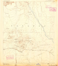
1891 · San Francisco Mtns
USGS Topo · 1:250,000
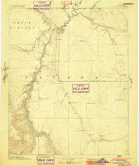
1891 · Echo Cliffs
USGS Topo · 1:250,000
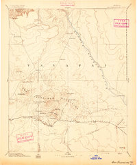
1894 · San Francisco Mtns
USGS Topo · 1:250,000
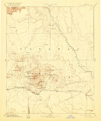
1899 · San Francisco Mtns
USGS Topo · 1:250,000
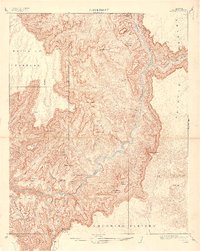
1907 · Vishnu
USGS Topo · 1:48,000

1947 · Flagstaff
USGS Topo · 1:250,000
1954 · Flagstaff
USGS Topo · 1:250,000
1955 · Coconino Pt SE
USGS Topo · 1:24,000