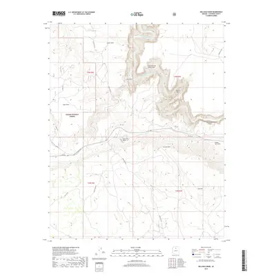
2018 Map of Hellhole Bend
USGS Topo · Published 2018About this map
The Little Colorado River Gorge dominates this high-desert landscape in Kaibab National Forest, carving a deep, winding path through the plateau. The river creates dramatic geological features such as the oxbows of Hellhole Bend and Mule Shoe Bend, where the water has etched sharp turns into the surrounding rock. This area represents a confluence of recreational trails and remote transportation routes, including the Great Western Trail and Rim Trail Rd., which follow the natural contours of the Coconino Rim.
Find a feature on this map
26 named features on this map. Tap any name to fly to it.
Don’t see what you’re looking for? This feature index may not catch every label — zoom into the map to look around manually.
Map Details
Editions of this 2018 Hellhole Bend Map
This is the sole edition of this map. No revisions or reprints were ever made.
Other maps of this area
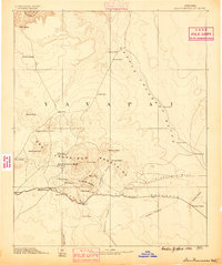
1886 · San Francisco Mtns
USGS Topo · 1:250,000
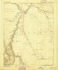
1886 · Echo Cliffs
USGS Topo · 1:250,000
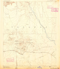
1891 · San Francisco Mtns
USGS Topo · 1:250,000
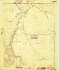
1891 · Echo Cliffs
USGS Topo · 1:250,000
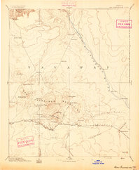
1894 · San Francisco Mtns
USGS Topo · 1:250,000
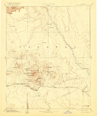
1899 · San Francisco Mtns
USGS Topo · 1:250,000
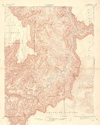
1907 · Vishnu
USGS Topo · 1:48,000

1947 · Flagstaff
USGS Topo · 1:250,000
1954 · Flagstaff
USGS Topo · 1:250,000
1955 · Coconino Pt SE
USGS Topo · 1:24,000