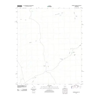
2010 Map of Hembrillo Basin
USGS Topo · Published 2010About this map
Hembrillo Basin and the surrounding desert landscape of Doña Ana County are defined by a network of ephemeral water sources and high-desert terrain features. This 2010 survey shows a region where human activity is sparse but notable, centered on points like the Henderson Ranch and the vital water infrastructure of the Green Valley Windmill and Ritch Windmill. The topography is marked by significant landmarks such as Victoria Peak and the distinctive Squaw Tit summit, while the history of livestock and land management is evidenced by the CCC Tank and various named canyons.
Find a feature on this map
16 named features on this map. Tap any name to fly to it.
Don’t see what you’re looking for? This feature index may not catch every label — zoom into the map to look around manually.
Map Details
Editions of this 2010 Hembrillo Basin Map
This is the sole edition of this map. No revisions or reprints were ever made.
Other maps of this area
1916 · Tonuco
USGS Topo · 1:125,000
1916 · Salinas Peak
USGS Topo · 1:125,000
1932 · Tonuco
USGS Topo · 1:125,000
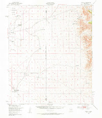
1948 · Sowell
USGS Topo · 1:62,500
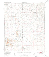
1948 · Chicken Well
USGS Topo · 1:62,500
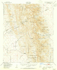
1948 · Kaylor Mountain
USGS Topo · 1:62,500
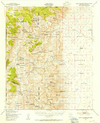
1948 · Black Top Mountain
USGS Topo · 1:62,500

1954 · Tularosa
USGS Topo · 1:250,000
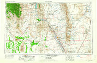
1955 · Las Cruces
USGS Topo · 1:250,000
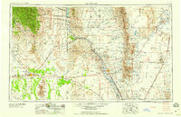
1958 · Las Cruces
USGS Topo · 1:250,000