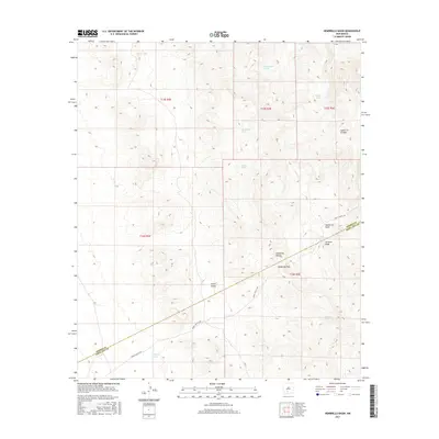
2017 Map of Hembrillo Basin
USGS Topo · Published 2017About this map
Victorio Peak dominates the southern reaches of this landscape, a site deeply tied to local lore and the geography of the San Andres Mountains. This 2017 survey shows the high-desert terrain where the boundary between Sierra County and Doña Ana County cuts through the northern end of the White Sands Missile Range. The presence of Wsmr S Route 306 provides a rare modern corridor through this restricted area, tracing a path near the Hembrillo Pass and through Green Valley.
Find a feature on this map
21 named features on this map. Tap any name to fly to it.
Don’t see what you’re looking for? This feature index may not catch every label — zoom into the map to look around manually.
Map Details
Editions of this 2017 Hembrillo Basin Map
This is the sole edition of this map. No revisions or reprints were ever made.
Other maps of this area
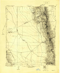
1916 · Tonuco
USGS Topo · 1:125,000
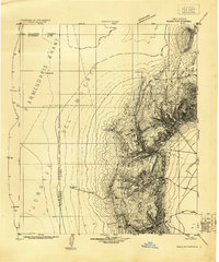
1916 · Salinas Peak
USGS Topo · 1:125,000
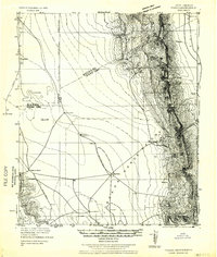
1932 · Tonuco
USGS Topo · 1:125,000
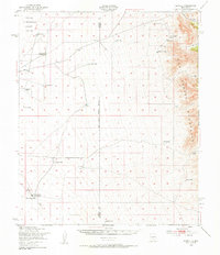
1948 · Sowell
USGS Topo · 1:62,500
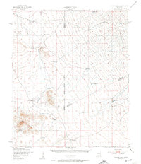
1948 · Chicken Well
USGS Topo · 1:62,500
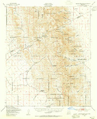
1948 · Kaylor Mountain
USGS Topo · 1:62,500
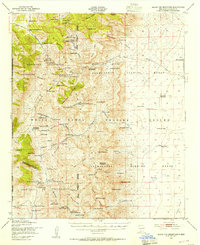
1948 · Black Top Mountain
USGS Topo · 1:62,500

1954 · Tularosa
USGS Topo · 1:250,000
1955 · Las Cruces
USGS Topo · 1:250,000
1958 · Las Cruces
USGS Topo · 1:250,000