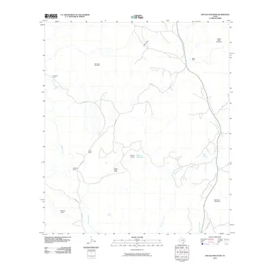
2010 Map of Hen Egg Mountain
USGS Topo · Published 2010About this map
Hen Egg Mountain and the surrounding high desert terrain define this portion of Brewster County, where the landscape is marked by isolated peaks and seasonal watercourses. The presence of Crenshaw Camp, Three Bar Ranch, and Adobe Walls indicates a sparsely populated region primarily characterized by ranching operations. Water management is central to life here, evidenced by the scattered locations of Ward Spring, Yellow Jacket Spring, and Paynes Waterhole. A network of unpaved tracks, including Hen Egg Rd and Salt Grass Rd, provides the only access through the rugged draws like Steep Draw and Adobe Walls Draw. The area’s complex drainage system is centered on Terlingua Creek, which winds through the western half of the map, and Dark Canyon Creek to the east, illustrating the importance of natural watersheds in this arid West Texas environment.
Find a feature on this map
22 named features on this map. Tap any name to fly to it.
Don’t see what you’re looking for? This feature index may not catch every label — zoom into the map to look around manually.
Map Details
Editions of this 2010 Hen Egg Mountain Map
This is the sole edition of this map. No revisions or reprints were ever made.
Other maps of this area
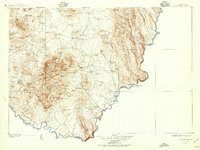
1903 · Chisos Mountains
USGS Topo · 1:125,000
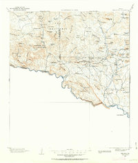
1903 · Terlingua
USGS Topo · 1:125,000
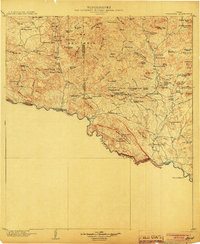
1904 · Terlingua
USGS Topo · 1:125,000
1905 · Chisos Mountains
USGS Topo · 1:125,000
1917 · Agua Fria
USGS Topo · 1:62,500
1918 · Bone Spring
USGS Topo · 1:125,000
1918 · Nine Point Mesa
USGS Topo · 1:62,500
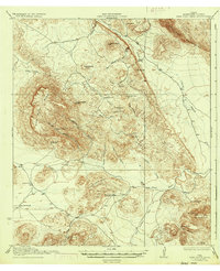
1937 · Nine Point Mesa
USGS Topo · 1:62,500
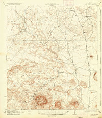
1937 · Agua Fria
USGS Topo · 1:62,500
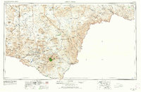
1959 · Emory Peak
USGS Topo · 1:250,000