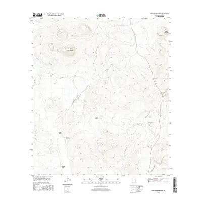
2016 Map of Hen Egg Mountain
USGS Topo · Published 2016About this map
Hen Egg Mountain and the surrounding high desert peaks of Brewster County are defined by a complex network of seasonal water sources and ephemeral drainages. This high-altitude landscape is crisscrossed by remote access points like Terlingua Ranch Gate 7 Rd and Hen Egg Rd, which navigate between prominent elevations such as Adobe Walls Mtn and Wildhorse Mtn. These peaks overlook deep incisions in the earth, including Paynes Canyon and the notable Steep Draw. Essential water features for this arid environment are carefully recorded, from Paynes Waterhole to Yellow Jacket Spring and Ward Spring. The hydrology of the area flows through significant channels like Terlingua Cr and Dark Canyon Cr, highlighting the vital relationship between the rare springs and the rugged topography of West Texas.
Find a feature on this map
22 named features on this map. Tap any name to fly to it.
Don’t see what you’re looking for? This feature index may not catch every label — zoom into the map to look around manually.
Map Details
Editions of this 2016 Hen Egg Mountain Map
This is the sole edition of this map. No revisions or reprints were ever made.
Other maps of this area
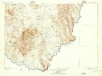
1903 · Chisos Mountains
USGS Topo · 1:125,000
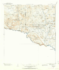
1903 · Terlingua
USGS Topo · 1:125,000
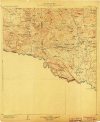
1904 · Terlingua
USGS Topo · 1:125,000
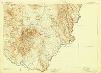
1905 · Chisos Mountains
USGS Topo · 1:125,000
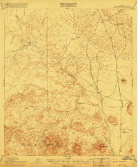
1917 · Agua Fria
USGS Topo · 1:62,500
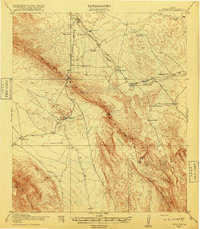
1918 · Bone Spring
USGS Topo · 1:125,000
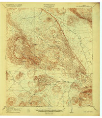
1918 · Nine Point Mesa
USGS Topo · 1:62,500
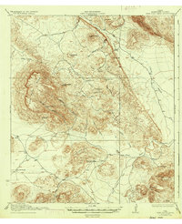
1937 · Nine Point Mesa
USGS Topo · 1:62,500
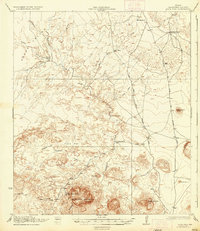
1937 · Agua Fria
USGS Topo · 1:62,500
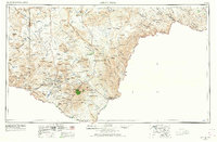
1959 · Emory Peak
USGS Topo · 1:250,000