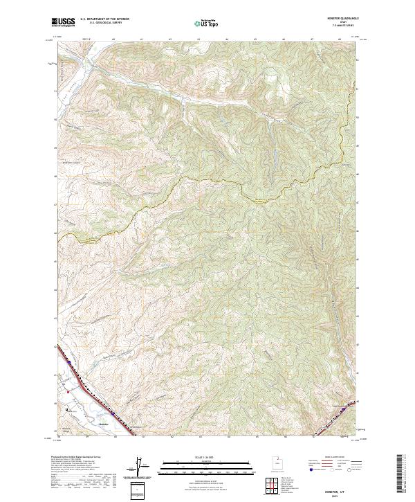
2023 Map of Henefer
USGS Topo · Published 2023About this map
Henefer occupies a strategic position where the Henefer Valley meets the Weber River, serving as a gateway between the Bear River Range and the Wasatch Range. This 2023 survey illustrates the complex topography of the Morgan County and Summit County border, where deep drainage systems like Anderton Canyon and Harris Canyon carve into the high ridges. The map reveals the critical transit corridors through these mountains, specifically following the watercourses of Echo Creek and the Weber River. Local history is anchored at the Henefer Cem, while the surrounding landscape is defined by traditional ranching and transit names such as Lost Valley and Hay Hollow. The intricate network of ridges, including Middle Ridge and peaks like Windy Knoll, demonstrates the vertical nature of the terrain that has shaped settlement patterns and road placements like Lost Creek Rd.
Find a feature on this map
47 named features on this map. Tap any name to fly to it.
Don’t see what you’re looking for? This feature index may not catch every label — zoom into the map to look around manually.
Map Details
Editions of this 2023 Henefer Map
This is the sole edition of this map. No revisions or reprints were ever made.
Historical Maps of Morgan County Through Time
4 maps found