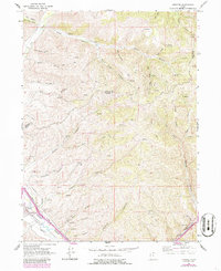
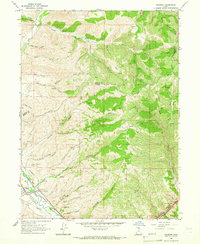
1964 Map of Henefer
USGS Topo · Published 1986About this map
The Henefer valley serves as a focal point for settlement and infrastructure along the Weber River, where the Union Pacific railroad and early pipelines parallel the water’s course. This mid-century survey reveals a landscape of industrial and commemorative importance, featuring a Pumping Station, a Claypit, and a local Cemetery. Cultural markers like the Pioneer Monument signify the area's heritage, while the settlement of China Town is situated in the high ridges of the northeast corner.
Find a feature on this map
42 named features on this map. Tap any name to fly to it.
Don’t see what you’re looking for? This feature index may not catch every label — zoom into the map to look around manually.
Map Details
Editions of this 1964 Henefer Map
2 editions found
Other maps of this area

1885 · Salt Lake
USGS Topo · 1:250,000

1900 · Coalville
USGS Topo · 1:125,000

1903 · Coalville
USGS Topo · 1:125,000

1925 · Ft. Douglas
USGS Topo · 1:125,000

1928 · Ft. Douglas
USGS Topo · 1:125,000

1954 · Salt Lake City
USGS Topo · 1:250,000

1954 · Ogden
USGS Topo · 1:250,000

1958 · Ogden
USGS Topo · 1:250,000

1958 · Salt Lake City
USGS Topo · 1:250,000

1960 · Ogden
USGS Topo · 1:250,000