
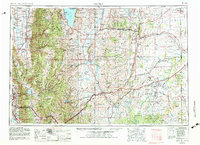
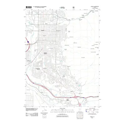
1960 Map of Ogden
USGS Topo · Published 1960About this map
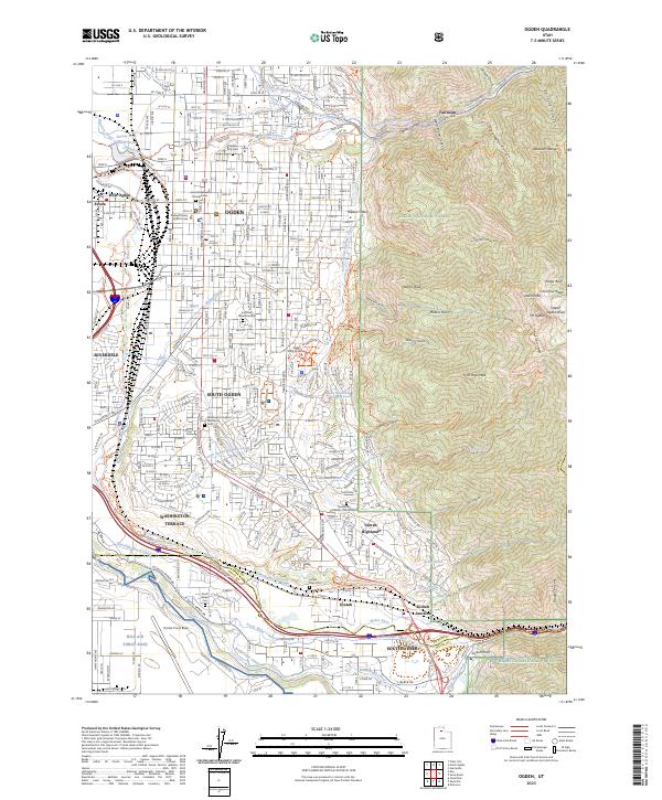
Hill AFB and the Utah General Depot anchor the urbanized corridor south of Ogden, illustrating the significant military and logistics presence in mid-century Utah. The landscape transitions sharply from these industrial and residential zones to the high peaks of the Wasatch Mountains and the Cache National Forest, where landmarks like Naomi Peak and Mount Ogden dominate the horizon. In the northern reaches, Bear Lake serves as a major recreational and geographic landmark, flanked by the lakeside settlements of Garden City and Pickleville.
Find a feature on this map
265 named features on this map. Tap any name to fly to it.
Don’t see what you’re looking for? This feature index may not catch every label — zoom into the map to look around manually.
Map Details
Editions of this 1960 Ogden Map
This is the sole edition of this map. No revisions or reprints were ever made.
Historical Maps of Ogden Through Time
12 maps found
1954 Ogden
Weber County, UT
1955 Ogden
Weber County, UT

1958 Ogden
Weber County, UT
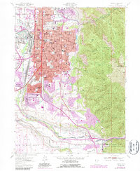
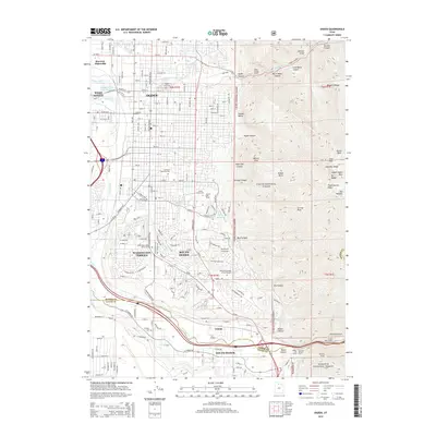
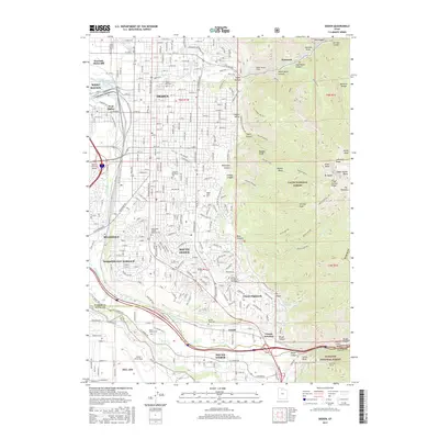
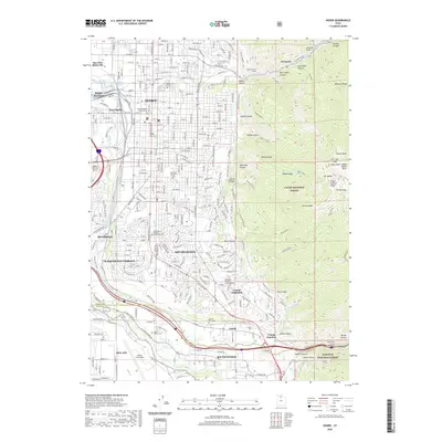
1960 Ogden
Weber County, UT

1986 Ogden
Weber County, UT
1992 Ogden
Weber County, UT
1998 Ogden
Weber County, UT
2011 Ogden
Weber County, UT
2014 Ogden
Weber County, UT
2017 Ogden
Weber County, UT
2020 Ogden
Weber County, UT
2023 Ogden
Weber County, UT