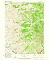
1964 Map of Henefer
USGS Topo · Published 1966About this map
Henefer Valley serves as the focal point of this mid-1960s survey, where the town of Henefer sits at the confluence of transport and history. The Union Pacific railroad and a major pipeline trace the corridor alongside the Weber River, reflecting the area's role as a vital mountain passage. Settled history is marked by the Pioneer Monument and a local Cem, while the landscape is defined by an intricate network of drainages including Black Hawk Canyon, Wolf Den Canyon, and Pine Fork. The presence of several Claypit labels near Anderton Canyon suggests active local extraction industries during this period. To the northeast, the curiously named China Town and numerous high-altitude Springs illustrate the varied human and natural geography found across the Morgan and Summit county line.
Find a feature on this map
45 named features on this map. Tap any name to fly to it.
Don’t see what you’re looking for? This feature index may not catch every label — zoom into the map to look around manually.
Map Details
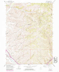
Editions of this 1964 Henefer Map
2 editions found
Other maps of this area

1885 · Salt Lake
USGS Topo · 1:250,000

1900 · Coalville
USGS Topo · 1:125,000

1903 · Coalville
USGS Topo · 1:125,000

1925 · Ft. Douglas
USGS Topo · 1:125,000

1928 · Ft. Douglas
USGS Topo · 1:125,000

1954 · Salt Lake City
USGS Topo · 1:250,000

1954 · Ogden
USGS Topo · 1:250,000

1958 · Ogden
USGS Topo · 1:250,000

1958 · Salt Lake City
USGS Topo · 1:250,000

1960 · Ogden
USGS Topo · 1:250,000