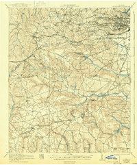
2024 Map of Hephzibah
USGS Topo · Published 2024About this map
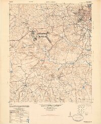
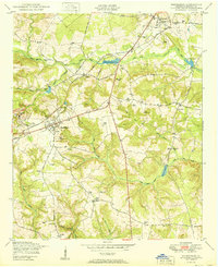
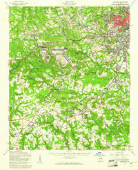
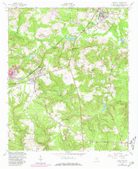
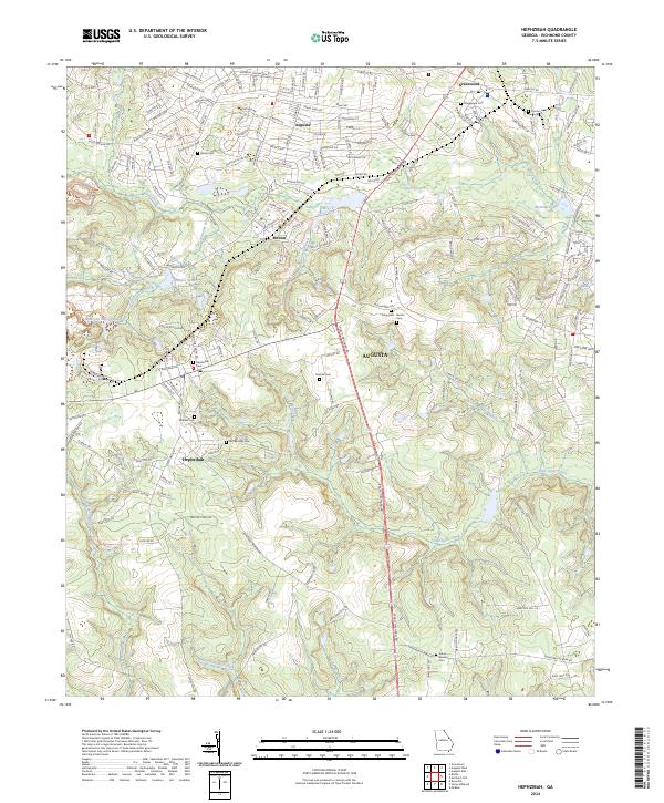
The town of Hephzibah serves as a central hub in this modern survey of south Augusta, where the landscape is defined by the headwaters of the Spirit Creek watershed. The area's deep history is evidenced by an extensive collection of family and community burial grounds, including Brothersville Cem, Malone Cem, and Atkins - Winter Cem. The Norfolk Southern railroad cuts through the terrain, passing near local settlements like Melton and Gracewood. Water management is prominent throughout the quadrangle, with several named impoundments such as Rhodes Pond, Goshen Lake, and Babcock Wilcox Lake punctuating the numerous creek branches. This map records the transition of rural Richmond County into a more developed suburban corridor while maintaining many of its traditional landmarks and stream networks like Rebecca Walker Creek and Horsepen Branch.
Find a feature on this map
184 named features on this map. Tap any name to fly to it.
Don’t see what you’re looking for? This feature index may not catch every label — zoom into the map to look around manually.
Map Details
Editions of this 2024 Hephzibah Map
This is the sole edition of this map. No revisions or reprints were ever made.
Historical Maps of Augusta Through Time
6 maps found