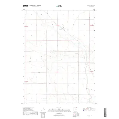
2019 Map of Hereford
USGS Topo · Published 2019About this map
Hereford occupies a central point on this northern Colorado landscape, established along the banks of Crow Cr. The settlement is defined by a modest grid of streets including Broadway and Circle Dr, serving as a localized hub for the surrounding agricultural and ranching lands. To the southeast, the terrain transitions into the Chalk Bluffs, a notable topographical break that contrasts with the rhythmic sections of the Public Land Survey System. The area is intersected by an extensive network of county roads, such as Co RD 136 and Co RD 79, which follow the township and range lines across t12n r62w and adjacent sections. This 2019 survey documents the enduring layout of this high-plains community, where the land is organized into precise geometric blocks interrupted only by the natural winding path of the creek.
Find a feature on this map
27 named features on this map. Tap any name to fly to it.
Don’t see what you’re looking for? This feature index may not catch every label — zoom into the map to look around manually.
Map Details
Editions of this 2019 Hereford Map
This is the sole edition of this map. No revisions or reprints were ever made.
Other maps of this area

1954 · Cheyenne
USGS Topo · 1:250,000

1954 · Greeley
USGS Topo · 1:250,000

1957 · Greeley
USGS Topo · 1:250,000

1958 · Cheyenne
USGS Topo · 1:250,000

1958 · Greeley
USGS Topo · 1:250,000

1961 · Greeley
USGS Topo · 1:250,000

1963 · Arcola
USGS Topo · 1:24,000

1963 · Carpenter
USGS Topo · 1:24,000

1963 · Pine Bluffs SW
USGS Topo · 1:24,000

1964 · Greeley
USGS Topo · 1:250,000