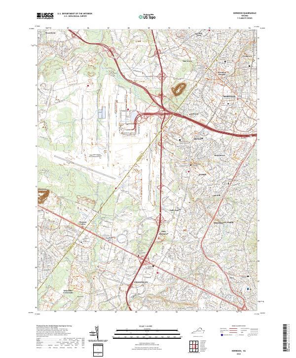
2022 Map of Herndon
USGS Topo · Published 2022About this map
The massive grounds of the Washington Dulles International Airport dominate this landscape on the border of Fairfax and Loudoun Counties. This 2022 survey reveals a complex environment where modern suburban development and high-tech corridors meet significant historical preservation. To the south, the Sully Plantation stands as a focal point of the area's heritage, while numerous small family burial grounds like the Orrison Family Cem and the Hutchison Major Family Cem remain preserved amidst the growing residential clusters of Floris and Franklin Farm.
Find a feature on this map
57 named features on this map. Tap any name to fly to it.
Don’t see what you’re looking for? This feature index may not catch every label — zoom into the map to look around manually.
Map Details
Editions of this 2022 Herndon Map
This is the sole edition of this map. No revisions or reprints were ever made.
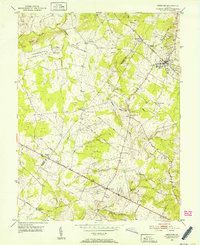
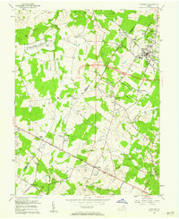
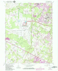
Historical Maps of Oak Grove Through Time
5 maps found