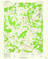
1956 Map of Herndon
USGS Topo · Published 1962About this map
Herndon serves as a primary hub of northern Virginia’s rural and early suburban transition in the mid-1950s, centered on the Washington and Old Dominion Railroad. The landscape is a mix of traditional agriculture and emerging infrastructure, featuring the sprawling Dulles International Airport and the high-tech National Bureau of Standards Sterling Radio Laboratory. This period captures the region just before massive suburbanization, where small communities like Floris and Hattontown remain distinct from the larger town. Local life is anchored by institutions such as Oak Grove Sch and churches like Mt Pleasant Ch. Waterways including Cub Run and Horsepen Run carve through the terrain, while the Lee Jackson Memorial Highway facilitates movement toward Chantilly. The map also documents long-standing family landmarks and burial sites, including the Chestnut Grove Cem and smaller unnamed cemeteries.
Find a feature on this map
54 named features on this map. Tap any name to fly to it.
Don’t see what you’re looking for? This feature index may not catch every label — zoom into the map to look around manually.
Map Details
Editions of this 1956 Herndon Map
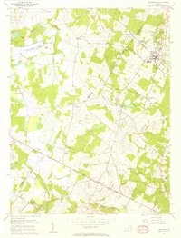
2 editions found
Other maps of this area

1884 · Harpers Ferry
USGS Topo · 1:125,000

1890 · Mt. Vernon
USGS Topo · 1:125,000

1891 · Harpers Ferry
USGS Topo · 1:125,000

1891 · Mt. Vernon
USGS Topo · 1:125,000

1893 · Frederick
USGS Topo · 1:125,000

1893 · Harpers Ferry
USGS Topo · 1:125,000

1894 · Warrenton
USGS Topo · 1:125,000

1894 · Frederick
USGS Topo · 1:125,000

1894 · Mt. Vernon
USGS Topo · 1:125,000

1897 · Mt. Vernon
USGS Topo · 1:125,000