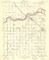
1947 Map of Herndon
USGS Topo · Published 1947About this map
The San Joaquin River snakes through the northern portion of this map, serving as the natural boundary between Madera and Fresno counties during the mid-1940s. The landscape is defined by a dense grid of agricultural infrastructure, where the Bullard Canal, Empire Ditch, and Silvia Ditch supported the region's productive ranching and farming operations. The influence of the Southern Pacific and Atchison Topeka and Santa Fe railroads is evident, as they parallel the river and major thoroughfares like Herndon Avenue, anchoring small transit-dependent hubs such as Herndon and Highway City. Education was decentralized across the rural landscape, as evidenced by a high concentration of local schoolhouses, including Tharsa, Herndon, and Teague schools. The map reflects a moment of transition where large holdings like the Rosedale Ranch existed alongside newer developments like West Acres.
Find a feature on this map
40 named features on this map. Tap any name to fly to it.
Don’t see what you’re looking for? This feature index may not catch every label — zoom into the map to look around manually.
Map Details
Editions of this 1947 Herndon Map
2 editions found
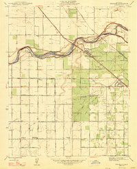
Other maps of this area

1921 · Bullard
USGS Topo · 1:31,680

1922 · Lanes Bridge
USGS Topo · 1:31,680

1922 · Gregg
USGS Topo · 1:31,680

1922 · Madera
USGS Topo · 1:31,680

1923 · Kearney Park
USGS Topo · 1:31,680

1923 · Herndon
USGS Topo · 1:31,680

1923 · Fresno
USGS Topo · 1:31,680

1923 · Biola
USGS Topo · 1:31,680

1923 · Bullard
USGS Topo · 1:31,680
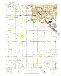
1946 · Fresno South
USGS Topo · 1:24,000