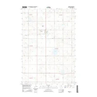
2015 Map of Herreid
USGS Topo · Published 2015About this map
Herreid serves as the central hub of this agricultural landscape in Campbell County, displaying a grid of residential and commercial streets typical of small-town South Dakota. The community is anchored by the Fairview Cem to the northwest and the Herreid Municipal Airport just beyond the northern town limits. This 2015 survey illustrates the systematic Public Land Survey System organization of the region, defined by township lines like t127n r77w and t128n r76w that dictate the placement of rural section roads. The terrain is marked by various water features, including the winding course of Spring Creek and the broader basin of McClarem Lake to the south. These natural depressions and drainage patterns reveal the subtle elevation changes that characterize the local prairie environment.
Find a feature on this map
24 named features on this map. Tap any name to fly to it.
Don’t see what you’re looking for? This feature index may not catch every label — zoom into the map to look around manually.
Map Details
Editions of this 2015 Herreid Map
This is the sole edition of this map. No revisions or reprints were ever made.
Other maps of this area

1953 · McIntosh
USGS Topo · 1:250,000

1954 · Aberdeen
USGS Topo · 1:250,000

1956 · Aberdeen
USGS Topo · 1:250,000

1958 · McIntosh
USGS Topo · 1:250,000

1965 · Herreid NW
USGS Topo · 1:24,000

1965 · Herreid SW
USGS Topo · 1:24,000

1965 · Herreid NE
USGS Topo · 1:24,000

1965 · Herreid
USGS Topo · 1:24,000

1967 · Mound City
USGS Topo · 1:24,000

1967 · Selby NW
USGS Topo · 1:24,000