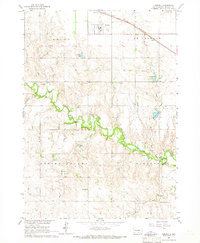
1964 Map of Herrick
USGS Topo · Published 1965About this map
Herrick serves as the primary hub of this Gregory County landscape, situated along the Chicago and North Western railroad line. The map captures a mid-century agricultural community defined by its watercourses, most notably the winding path of Ponca Creek and its many tributaries like Blue Eyes Creek and Willow Creek. This 1964 field-checked survey reveals a distributed network of rural life, evidenced by one-room schoolhouses like Miller Sch and Goodman Sch, alongside community anchors such as the Townhall.
Find a feature on this map
25 named features on this map. Tap any name to fly to it.
Don’t see what you’re looking for? This feature index may not catch every label — zoom into the map to look around manually.
Map Details
Editions of this 1964 Herrick Map
This is the sole edition of this map. No revisions or reprints were ever made.
Other maps of this area

1951 · Naper
USGS Topo · 1:24,000

1955 · Mitchell
USGS Topo · 1:250,000

1955 · O'Neill
USGS Topo · 1:250,000

1959 · O'Neill
USGS Topo · 1:250,000

1959 · Mitchell
USGS Topo · 1:250,000

1964 · Gregory SE
USGS Topo · 1:24,000

1964 · Herrick NW
USGS Topo · 1:24,000

1964 · Herrick NE
USGS Topo · 1:24,000

1964 · St. Charles
USGS Topo · 1:24,000
1964 · Jamison
USGS Topo · 1:24,000